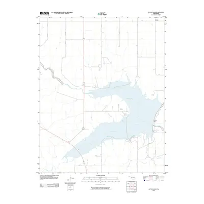
2010 Map of Optima Dam
USGS Topo · Published 2010About this map
Optima Lake dominates this portion of the Oklahoma Panhandle, where the impounded waters of the Beaver River and Coldwater Creek meet. The landscape is defined by the massive infrastructure of the Optima Dam, a significant mid-century water management project in Texas County. Despite the large-scale changes brought by the reservoir, older signatures of the local community remain visible through family and community burial grounds, such as the Hardesty Cemetery near the lake’s edge and the Brethren Cemetery further north. The map documents a strictly organized grid of rural roads, including Mile 47 and S Rd, which navigate the high plains surrounding the river valley and the ephemeral drainage of Dry Creek.
Find a feature on this map
26 named features on this map. Tap any name to fly to it.
Don’t see what you’re looking for? This feature index may not catch every label — zoom into the map to look around manually.
Map Details
Editions of this 2010 Optima Dam Map
This is the sole edition of this map. No revisions or reprints were ever made.
Other maps of this area

1954 · Perryton
USGS Topo · 1:250,000

1958 · Perryton
USGS Topo · 1:250,000

1967 · Optima
USGS Topo · 1:24,000

1967 · Hooker
USGS Topo · 1:24,000

1967 · Adams
USGS Topo · 1:24,000

1968 · Hardesty
USGS Topo · 1:24,000

1968 · Optima Dam
USGS Topo · 1:24,000

1968 · Hardesty SE
USGS Topo · 1:24,000

1968 · Hardesty NE
USGS Topo · 1:24,000

1968 · Guymon NE
USGS Topo · 1:24,000