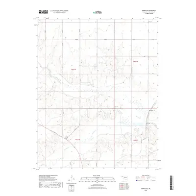
2018 Map of Optima Dam
USGS Topo · Published 2018About this map
Optima Dam and the meandering Beaver River define this stretch of the Oklahoma Panhandle, where the high plains landscape is carved by seasonal watercourses. The 2018 survey reveals a terrain dominated by the intersection of the river valley with Coldwater Cr and Dry Cr, creating a network of draws and breaks. Significant for local history and genealogy, the map preserves the location of Brethren Cem in the northern reaches and Hardesty Cem further south. The land is organized by a precise grid of section lines and rural roads, such as Spearman Rd and N1050 Rd, illustrating the enduring public land survey system that dictates the settlement and ranching patterns of Texas County.
Find a feature on this map
39 named features on this map. Tap any name to fly to it.
Don’t see what you’re looking for? This feature index may not catch every label — zoom into the map to look around manually.
Map Details
Editions of this 2018 Optima Dam Map
This is the sole edition of this map. No revisions or reprints were ever made.
Other maps of this area
1954 · Perryton
USGS Topo · 1:250,000
1958 · Perryton
USGS Topo · 1:250,000
1967 · Optima
USGS Topo · 1:24,000
1967 · Hooker
USGS Topo · 1:24,000
1967 · Adams
USGS Topo · 1:24,000
1968 · Hardesty
USGS Topo · 1:24,000
1968 · Optima Dam
USGS Topo · 1:24,000
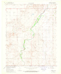
1968 · Hardesty SE
USGS Topo · 1:24,000
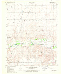
1968 · Hardesty NE
USGS Topo · 1:24,000
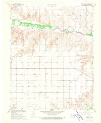
1968 · Guymon NE
USGS Topo · 1:24,000