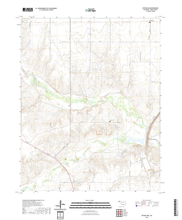
2022 Map of Optima Dam
USGS Topo · Published 2022About this map
Beaver River and its associated wetlands dominate the landscape of the Oklahoma Panhandle in this modern survey of Texas County. The terrain is defined by the confluence of several vital watercourses, including Coldwater Cr and Dry Cr, which carve through the high plains. A grid of section-line roads such as Mile 45 Rd and Mile 50 Rd overlays the land, reflecting the persistent geometry of the Public Land Survey System. For genealogists and local historians, the map preserves the exact locations of the Mennonite Brethren Cem in the north and the Hardesty Cem further south, providing fixed points for family research in a sparsely populated agricultural region. The network of local routes like Road W and Spearman Rd connects these landmarks, illustrating the enduring spatial organization of rural life in this part of the plains.
Find a feature on this map
37 named features on this map. Tap any name to fly to it.
Don’t see what you’re looking for? This feature index may not catch every label — zoom into the map to look around manually.
Map Details
Editions of this 2022 Optima Dam Map
This is the sole edition of this map. No revisions or reprints were ever made.
Other maps of this area

1954 · Perryton
USGS Topo · 1:250,000

1958 · Perryton
USGS Topo · 1:250,000

1967 · Optima
USGS Topo · 1:24,000

1967 · Hooker
USGS Topo · 1:24,000

1967 · Adams
USGS Topo · 1:24,000

1968 · Hardesty
USGS Topo · 1:24,000

1968 · Optima Dam
USGS Topo · 1:24,000

1968 · Hardesty SE
USGS Topo · 1:24,000

1968 · Hardesty NE
USGS Topo · 1:24,000

1968 · Guymon NE
USGS Topo · 1:24,000