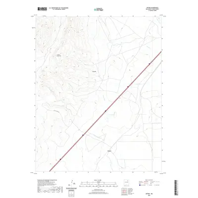
2020 Map of Optimo
USGS Topo · Published 2020About this map
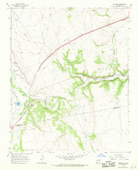
The Turkey Mountains dominate the western portion of this Mora County landscape, where the high desert terrain transitions into a network of drainage arroyos. The settlement of Optimo is situated in the southeastern corner, serving as a focal point in a region characterized by wide-reaching ranching lands and ephemeral watercourses. Several significant drainages, including Arroyo Tierra Blanca, Arroyo Chorro, and Ciruela Cr, carve through the topography, illustrating the natural water management of the high plains. The map also identifies the locality of Ciruela and water features like Calleys Lake, alongside access routes such as Christmas Ranch Rd. This 2020 survey provides a modern topographical record of these remote northern New Mexico settlements, documenting the persistence of rural land divisions and the geographic isolation of these mountain-flanked communities.
Find a feature on this map
9 named features on this map. Tap any name to fly to it.
Don’t see what you’re looking for? This feature index may not catch every label — zoom into the map to look around manually.
Map Details
Editions of this 2020 Optimo Map
This is the sole edition of this map. No revisions or reprints were ever made.
Other maps of this area
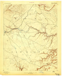
1892 · Watrous
USGS Topo · 1:125,000
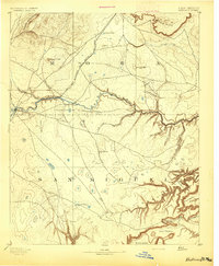
1894 · Watrous
USGS Topo · 1:125,000
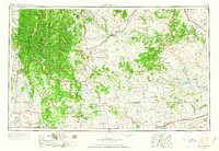
1954 · Santa Fe
USGS Topo · 1:250,000

1954 · Raton
USGS Topo · 1:250,000

1958 · Raton
USGS Topo · 1:250,000
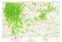
1958 · Santa Fe
USGS Topo · 1:250,000
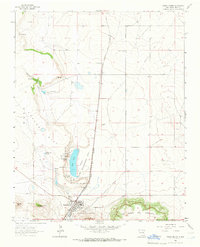
1964 · Wagon Mound
USGS Topo · 1:24,000
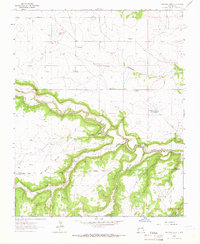
1964 · Frutosa Lake
USGS Topo · 1:24,000
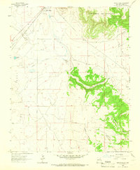
1964 · Mogote Hills
USGS Topo · 1:24,000
1966 · Watrous
USGS Topo · 1:24,000