Loading...
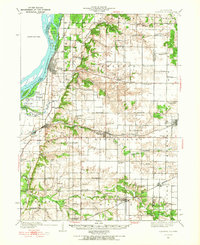
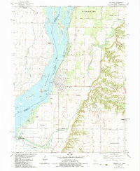
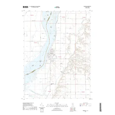
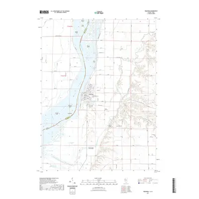
Loading map...1934 Map of Oquawka
USGS Topo · Published 1967About this map
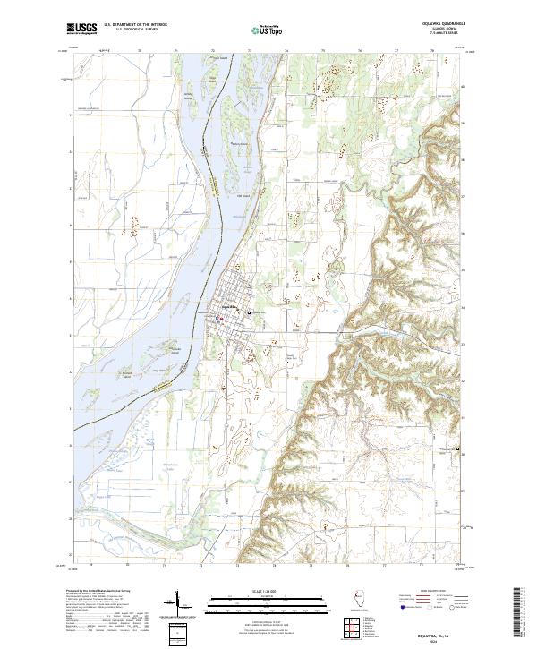
The Mississippi River defines the western edge of this Henderson County landscape, carving out a complex system of islands and backwaters including Benton Island and Big Dasher I. Inland, the terrain is shaped by the drainage of Henderson Creek and Ellison Creek, supporting a dense network of early 20th-century rural institutions. The settlement of Oquawka serves as a focal point near the river, while the Chicago Burlington and Quincy railroad facilitates growth in Biggsville and Kirkwood.
Find a feature on this map
88 named features on this map. Tap any name to fly to it.
Don’t see what you’re looking for? This feature index may not catch every label — zoom into the map to look around manually.
Map Details
Date Portrayed1934
Date Published1967
PublisherU.S. Geological Survey
Map TypeTopographic
Scale1:62,500
Physical Dimensions16.9 x 20.8 inches
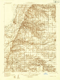
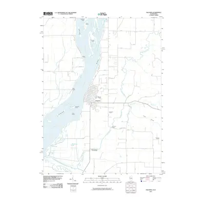
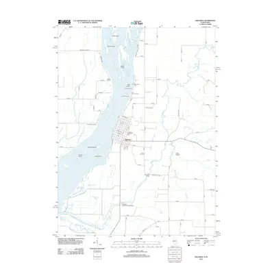
Editions of this 1934 Oquawka Map
3 editions found
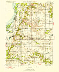
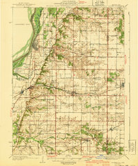
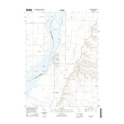
Historical Maps of Oquawka Through Time
9 maps found
Featured Locations
Source Details
SourceU.S. Geological Survey
CopyrightPublic Domain