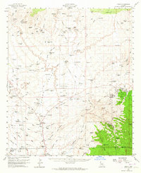
1959 Map of Oracle
USGS Topo · Published 1964About this map
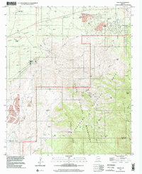
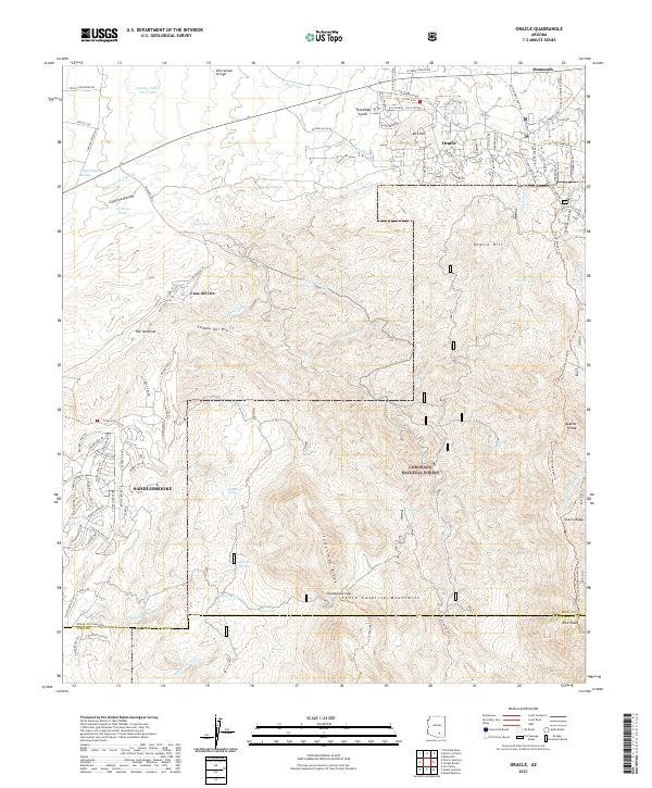
Oracle serves as the focal point for this late-1950s survey of the northern foothills of the Santa Catalina Mountains. The landscape is a complex network of cattle operations and mining claims, including the Ardmose Mine and Hot Boy Mine in the north and the Burney Mines to the south. Distinctive ranching properties like the Triangle L Ranch, Horse Foot Ranch, and Willow Springs Ranch illustrate the era's land use, while the Experimental Ranch suggests specialized agricultural research in the arid terrain. The map captures a transition where the desert floor meets the rising elevations of the Coronado National Forest, marked by the Oracle Ranger Sta and the Coronado Camp. An intricate system of water management is visible through numerous named tanks and wells, such as Tipperary Tank and Last Chance Tank, which were vital for sustaining livestock and mining operations across the Cañada del Oro drainage basin.
Find a feature on this map
124 named features on this map. Tap any name to fly to it.
Don’t see what you’re looking for? This feature index may not catch every label — zoom into the map to look around manually.
Map Details
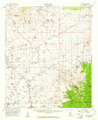
Editions of this 1959 Oracle Map
2 editions found
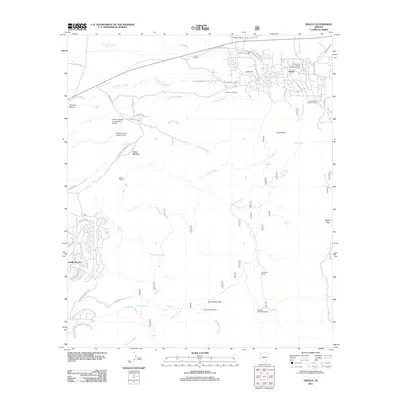
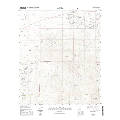
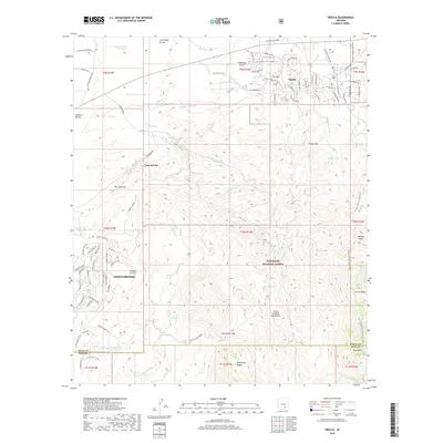
Historical Maps of Saddlebrooke Through Time
7 maps found