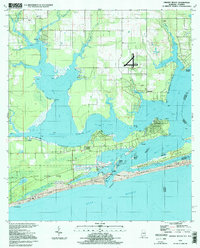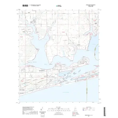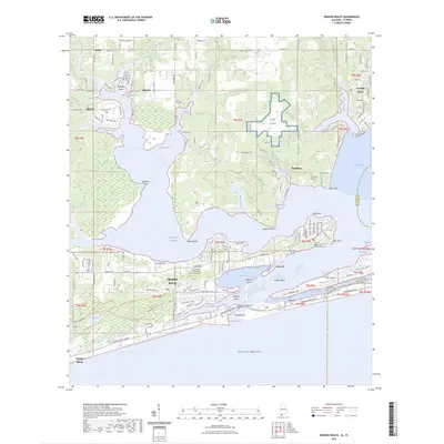
1980 Map of Orange Beach
USGS Topo · Published 1992About this map
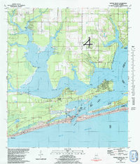
The Gulf State Park shoreline and the intricate wetlands of Wolf Bay characterize this coastal Alabama landscape in the early 1980s. This survey details a transition period for the region, where older settlements like Miflin and Josephine sit alongside military installations such as the U S Naval Res Wolf Field. The complex hydrography of the area is on full display, from the narrow Alabama Pass connecting to the Gulf of Mexico to the inland reaches of Palmetto Creek and Miflin Creek. Land use is a mix of natural preserve, maritime industry, and emerging residential pockets, evidenced by a Claypit near Moccasin Bayou and various sandpits. The map also traces the state boundary along the Old Perdido River, separating Alabama from Florida near Ono Island and the community of Perdido Beach.
Find a feature on this map
52 named features on this map. Tap any name to fly to it.
Don’t see what you’re looking for? This feature index may not catch every label — zoom into the map to look around manually.
Map Details
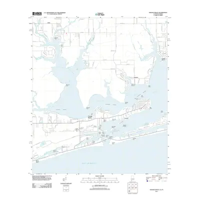
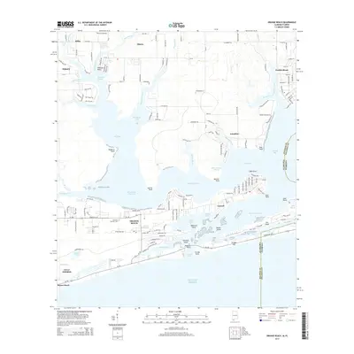
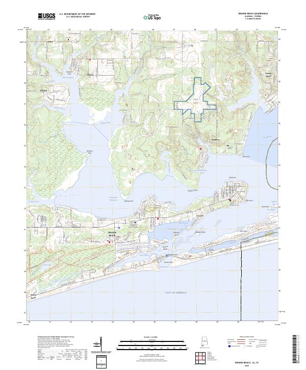
Editions of this 1980 Orange Beach Map
2 editions found
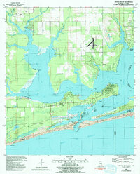
Historical Maps of Foley Through Time
8 maps found