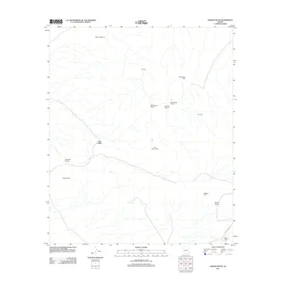
2011 Map of Orange Butte
USGS Topo · Published 2011About this map
San Simon Peak and the surrounding high desert of Cochise County are the focal points of this arid landscape, where water sources determine the patterns of human and animal life. The presence of several artificial and natural water points, including Indian Tanks, Tule Tank, and Bear Sign Tank, highlights the essential infrastructure for ranching and survival in this dry Arizona territory. Named settlements and ranching sites like Old Camp, Little Franks, and Horsecamp are dispersed across the terrain, connected by primitive routes and the more defined Indian Springs Rd. These locations, along with Old McKenzie Ranch, provide valuable clues for genealogists and local historians tracing the movement of cattle and homesteaders through the canyons and over the peaks of the Winchester and San Simon ranges.
Find a feature on this map
18 named features on this map. Tap any name to fly to it.
Don’t see what you’re looking for? This feature index may not catch every label — zoom into the map to look around manually.
Map Details
Editions of this 2011 Orange Butte Map
This is the sole edition of this map. No revisions or reprints were ever made.
Other maps of this area

1917 · San Simon
USGS Topo · 1:125,000

1926 · Orange Butte
USGS Topo · 1:62,500

1928 · Bowie
USGS Topo · 1:62,500

1949 · Bowie
USGS Topo · 1:62,500

1950 · San Simon
USGS Topo · 1:62,500

1950 · Bowie
USGS Topo · 1:62,500

1951 · San Simon
USGS Topo · 1:62,500

1954 · Silver City
USGS Topo · 1:250,000

1958 · Silver City
USGS Topo · 1:250,000

1960 · Duncan
USGS Topo · 1:62,500