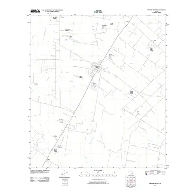
2010 Map of Orange Grove
USGS Topo · Published 2010About this map
Orange Grove serves as the central hub of this South Texas landscape, where a dense network of residential colonias radiates outward along the Farm to Market roads. The mapping reveals a distinct pattern of rural subdivision, with numerous named communities such as Johns Valley Colonia, Orange Grove Villa Colonia, and Heritage Acres Colonia establishing a modern residential footprint among traditional ranching lands like the K-Bar Ranch.
Find a feature on this map
77 named features on this map. Tap any name to fly to it.
Don’t see what you’re looking for? This feature index may not catch every label — zoom into the map to look around manually.
Map Details
Editions of this 2010 Orange Grove Map
This is the sole edition of this map. No revisions or reprints were ever made.
Other maps of this area

1920 · Mikeska
USGS Topo · 1:125,000

1920 · San Diego
USGS Topo · 1:62,500

1925 · Mathis No. 3
USGS Topo · 1:48,000

1927 · Mathis
USGS Topo · 1:62,500

1950 · Corpus Christi
USGS Topo · 1:250,000

1953 · Crystal City
USGS Topo · 1:250,000

1953 · Beeville
USGS Topo · 1:250,000

1954 · Orange Grove
USGS Topo · 1:62,500

1954 · Mathis
USGS Topo · 1:62,500

1955 · Crystal City
USGS Topo · 1:250,000
Featured Places
- Orange Grove, TX
- Yucca Acres Colonia, TX
- Orange Grove Villa Colonia, TX
- Westdale, TX
- Westdale Estates Number 1 Colonia, TX