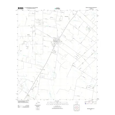
2013 Map of Orange Grove
USGS Topo · Published 2013About this map
Orange Grove serves as the primary hub of this Jim Wells County landscape, where the grid-like residential streets contrast with the sprawling rural expanses beyond. The Southern Pacific rail line bisects the territory, running southwest past Alfred and providing a historic transportation spine for the region's agricultural interests. Multiple ephemeral watercourses, including Agua Dulce Cr and Quinta Cr, carve through the land, indicating the drainage patterns essential to local ranching and farming operations.
Find a feature on this map
102 named features on this map. Tap any name to fly to it.
Don’t see what you’re looking for? This feature index may not catch every label — zoom into the map to look around manually.
Map Details
Editions of this 2013 Orange Grove Map
This is the sole edition of this map. No revisions or reprints were ever made.
Other maps of this area
1920 · Mikeska
USGS Topo · 1:125,000
1920 · San Diego
USGS Topo · 1:62,500
1925 · Mathis No. 3
USGS Topo · 1:48,000
1927 · Mathis
USGS Topo · 1:62,500
1950 · Corpus Christi
USGS Topo · 1:250,000
1953 · Crystal City
USGS Topo · 1:250,000
1953 · Beeville
USGS Topo · 1:250,000
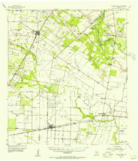
1954 · Orange Grove
USGS Topo · 1:62,500
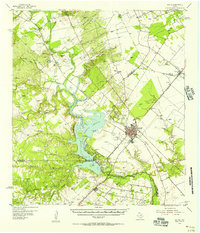
1954 · Mathis
USGS Topo · 1:62,500
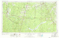
1955 · Crystal City
USGS Topo · 1:250,000
Featured Places
- Orange Grove, TX
- Yucca Acres Colonia, TX
- Orange Grove Villa Colonia, TX
- Westdale, TX
- Westdale Estates Number 1 Colonia, TX