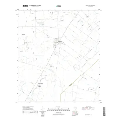
2019 Map of Orange Grove
USGS Topo · Published 2019About this map
Orange Grove serves as the central hub of this South Texas landscape, where a grid of rural roads and state highways connects scattered residential pockets and ranchlands. The area's agricultural and ranching roots are evident in the expansive holdings like K-Bar Ranch and the presence of several small family or community burial grounds, including McNeill Cem, Reynolds Cem, and Adams Cem. These sites, along with the Itill Do Airfield, provide concrete points of interest for local history researchers and genealogists tracing the development of Jim Wells Co and its border with Nueces Co.
Find a feature on this map
104 named features on this map. Tap any name to fly to it.
Don’t see what you’re looking for? This feature index may not catch every label — zoom into the map to look around manually.
Map Details
Editions of this 2019 Orange Grove Map
This is the sole edition of this map. No revisions or reprints were ever made.
Other maps of this area

1920 · Mikeska
USGS Topo · 1:125,000

1920 · San Diego
USGS Topo · 1:62,500

1925 · Mathis No. 3
USGS Topo · 1:48,000

1927 · Mathis
USGS Topo · 1:62,500

1950 · Corpus Christi
USGS Topo · 1:250,000

1953 · Crystal City
USGS Topo · 1:250,000

1953 · Beeville
USGS Topo · 1:250,000

1954 · Orange Grove
USGS Topo · 1:62,500

1954 · Mathis
USGS Topo · 1:62,500

1955 · Crystal City
USGS Topo · 1:250,000
Featured Places
- Orange Grove, TX
- Yucca Acres Colonia, TX
- Orange Grove Villa Colonia, TX
- Westdale, TX
- Westdale Estates Number 1 Colonia, TX