Loading...
Loading map...2022 Map of Orange Grove
USGS Topo · Published 2022About this map
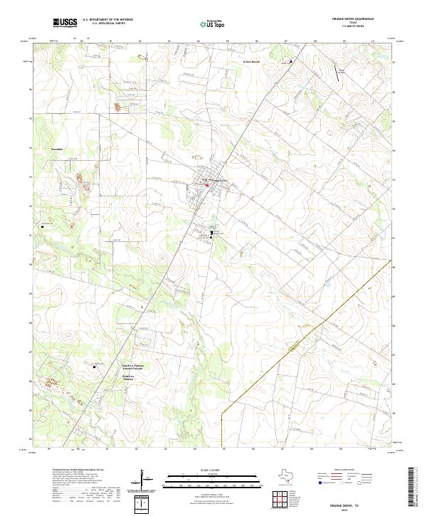
The town of Orange Grove serves as the focal point of this South Texas landscape, situated at the intersection of several farm-to-market roads. The community is notable for its concentration of burial grounds, including the Orange Grove Cem, Sons Of Herman Cem, and Saint John of the Cross Cem, which reflect the area's genealogical depth. To the south, residential expansion is evident in South La Paloma Estates Colonia and South La Paloma.
Find a feature on this map
107 named features on this map. Tap any name to fly to it.
Don’t see what you’re looking for? This feature index may not catch every label — zoom into the map to look around manually.
Map Details
Date Portrayed2022
Date Published2022
PublisherU.S. Geological Survey
Map TypeTopographic
Scale1:24000
Physical Dimensions24 x 29 inches
Editions of this 2022 Orange Grove Map
This is the sole edition of this map. No revisions or reprints were ever made.
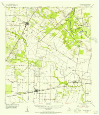
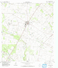
Historical Maps of K-Bar Ranch Through Time
3 maps found
Featured Locations
- R and R Colonia, TX
- North Orange Estates Colonia, TX
- Orange Acres Colonia, TX
- Orange Grove, TX
- Westdale Estates Number 3 Colonia, TX
Source Details
SourceU.S. Geological Survey
CopyrightPublic Domain