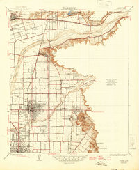
1935 Map of Orange
USGS Topo · Published 1946About this map
Santa Ana River valley citrus groves and early suburban grids define this mid-1930s landscape, captured before the post-war housing boom transformed the region. The map detailing Orange and Santa Ana reveals a transition from agrarian roots to established town centers, connected by the Atchison Topeka and Santa Fe and Southern Pacific railroads. Local landmarks like Hewes Park and the various schools including West Orange Sch and Peralta Sch show a community investing in its social infrastructure.
Find a feature on this map
49 named features on this map. Tap any name to fly to it.
Don’t see what you’re looking for? This feature index may not catch every label — zoom into the map to look around manually.
Map Details
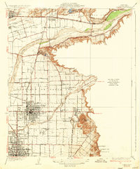
Editions of this 1935 Orange Map
2 editions found
Other maps of this area

1896 · Santa Ana
USGS Topo · 1:62,500

1896 · Anaheim
USGS Topo · 1:62,500

1898 · Anaheim
USGS Topo · 1:62,500

1901 · Southern California Sheet No. 1
USGS Topo · 1:250,000

1901 · Santa Ana
USGS Topo · 1:62,500

1901 · Anaheim
USGS Topo · 1:62,500

1902 · Corona
USGS Topo · 1:125,000

1904 · Southern California Sheet No. 1
USGS Topo · 1:250,000

1932 · Orange
USGS Topo · 1:31,680

1932 · Newport Beach
USGS Topo · 1:31,680