1918 Map of Orange Park
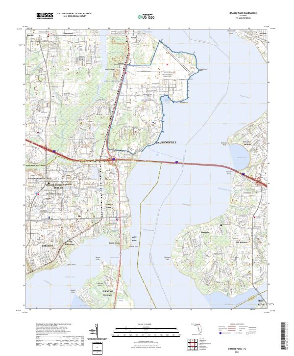
USGS Topo · Published 1942About this map
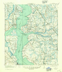
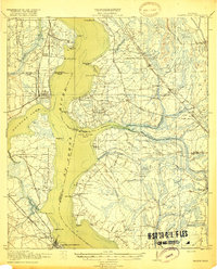
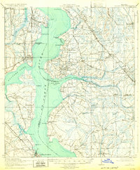
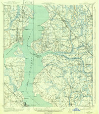
The St Johns River and Doctors Lake anchor this 1917 survey of the coastal corridor south of Jacksonville, revealing a landscape defined by riverside settlements and early transportation arteries. Communities like Orange Park and Green Cove Springs are established nodes along the Atlantic Coast Line, while the eastern bank is characterized by the winding Florida East Coast rail line and the historic Old St Augustine Road.
Find a feature on this map
84 named features on this map. Tap any name to fly to it.
Don’t see what you’re looking for? This feature index may not catch every label — zoom into the map to look around manually.
Map Details
Editions of this 1918 Orange Park Map
5 editions found

Historical Maps of Jacksonville Through Time
11 maps found

1917 Orange Park
Clay County, FL
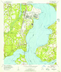
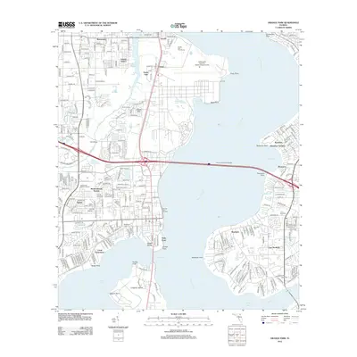
1918 Orange Park
Clay County, FL
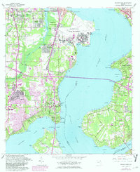
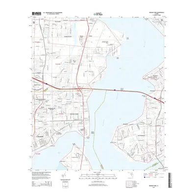
1952 Orange Park
Clay County, FL
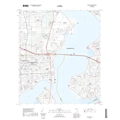
1964 Orange Park
Clay County, FL
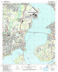
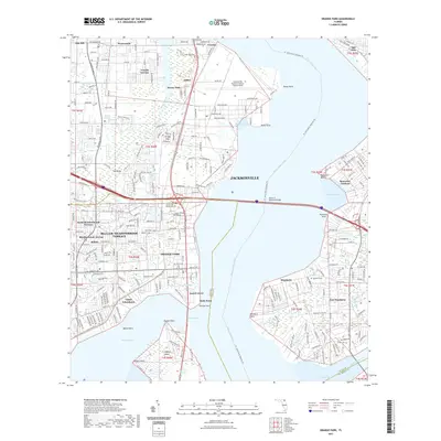
1993 Orange Park
Clay County, FL
1994 Orange Park
Clay County, FL
2012 Orange Park
Clay County, FL
2015 Orange Park
Clay County, FL
2018 Orange Park
Clay County, FL
2021 Orange Park
Clay County, FL
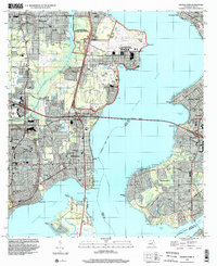
2024 Orange Park
Clay County, FL