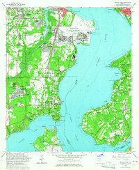
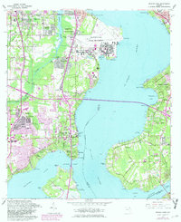
1964 Map of Orange Park
USGS Topo · Published 1965About this map
The St Johns River dominates the landscape of this 1960s survey, separating the growing residential developments of Orange Park from the established communities of Mandarin and East Mandarin. The map captures a period of significant military and suburban expansion, anchored by the sprawling facilities of the Jacksonville Naval Air Station and the U S Naval Reservation on Creighton Island. Infrastructure like the Atlantic Coast Line and Seaboard Air Line railroads trace the western corridor through Yukon and Ortega Hills, while the riverside terrain is punctuated by historical landmarks like Laurel Grove Cem and Orange Park Landing. Residential growth is evident in the layout of neighborhoods such as Venetia Terrace and Meadorbrook Terrace, contrasting with the more open, wetland-rich areas surrounding Doctors Lake and Moccasin Slough.
Find a feature on this map
81 named features on this map. Tap any name to fly to it.
Don’t see what you’re looking for? This feature index may not catch every label — zoom into the map to look around manually.
Map Details
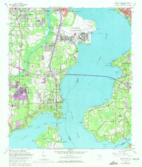
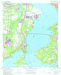
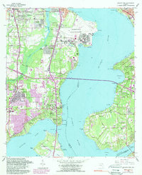
Editions of this 1964 Orange Park Map
5 editions found
Other maps of this area

1917 · Orange Park
USGS Topo · 1:62,500

1917 · Cambon
USGS Topo · 1:62,500

1918 · Middleburg
USGS Topo · 1:62,500

1918 · Cambon
USGS Topo · 1:62,500

1918 · Jacksonville
USGS Topo · 1:62,500

1918 · Orange Park
USGS Topo · 1:62,500

1941 · Middleburg
USGS Topo · 1:62,500

1948 · Jacksonville
USGS Topo · 1:250,000

1949 · Middleburg
USGS Topo · 1:24,000

1949 · Jacksonville Heights
USGS Topo · 1:24,000