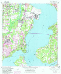
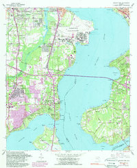
1964 Map of Orange Park
USGS Topo · Published 1982About this map
Jacksonville Naval Air Station and the sprawling training grounds of the U S Naval Air Station dominate the northern peninsula, illustrating the massive military presence along the St Johns River during the mid-20th century. Across the water, the historic settlement of Mandarin retains its residential character, anchored by the Mandarin Cem and neighborhood landmarks like the Community Hall. The geography of the region is defined by the broad expanse where Doctors Inlet meets the river, creating a complex series of coves and points such as Mulberry Cove and Plummers Point.
Find a feature on this map
71 named features on this map. Tap any name to fly to it.
Don’t see what you’re looking for? This feature index may not catch every label — zoom into the map to look around manually.
Map Details
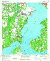
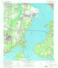
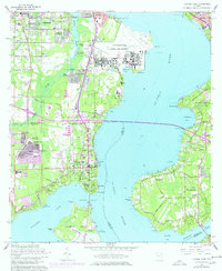
Editions of this 1964 Orange Park Map
5 editions found
Other maps of this area

1917 · Orange Park
USGS Topo · 1:62,500

1917 · Cambon
USGS Topo · 1:62,500

1918 · Middleburg
USGS Topo · 1:62,500

1918 · Cambon
USGS Topo · 1:62,500

1918 · Jacksonville
USGS Topo · 1:62,500

1918 · Orange Park
USGS Topo · 1:62,500

1941 · Middleburg
USGS Topo · 1:62,500

1948 · Jacksonville
USGS Topo · 1:250,000

1949 · Middleburg
USGS Topo · 1:24,000

1949 · Jacksonville Heights
USGS Topo · 1:24,000