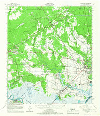
1957 Map of Orangefield
USGS Topo · Published 1967About this map
Bessie Heights and the industrial corridors of Orange County define this mid-century coastal landscape where the Neches River and Sabine River converge toward the Gulf. The map reveals an economy built on heavy industry and logistics, featuring the North Port Neches Oil and Gas Field and a dense network of major railroads including the Southern Pacific and Kansas City Southern. Smaller settlements like Orangefield and Mauriceville are interconnected by historic routes such as the Spanish Trail. Local genealogy is well-preserved through numerous family-named landmarks like Wilkinson Cem and Linscomb Cem, while the complex hydrology of Sawgrass Marsh and Cow Bayou illustrates the challenging terrain of the Texas-Louisiana borderlands before extensive modern development.
Find a feature on this map
85 named features on this map. Tap any name to fly to it.
Don’t see what you’re looking for? This feature index may not catch every label — zoom into the map to look around manually.
Map Details
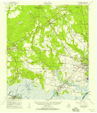
Editions of this 1957 Orangefield Map
2 editions found
Other maps of this area

1926 · Terry
USGS Topo · 1:24,000

1926 · Lakeview
USGS Topo · 1:24,000

1926 · Vidor
USGS Topo · 1:24,000

1926 · Texla
USGS Topo · 1:24,000

1926 · Mauriceville
USGS Topo · 1:24,000

1932 · Beaumont
USGS Topo · 1:62,500

1932 · Orange
USGS Topo · 1:62,500

1932 · Port Arthur NE
USGS Topo · 1:31,680

1934 · Greens Bayou
USGS Topo · 1:24,000

1935 · Greens Bayou
USGS Topo · 1:31,680