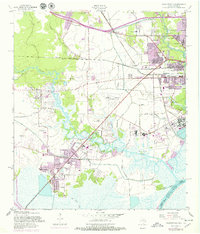
1957 Map of Orangefield
USGS Topo · Published 1979About this map
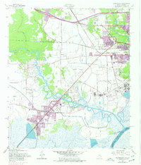
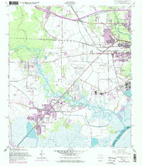
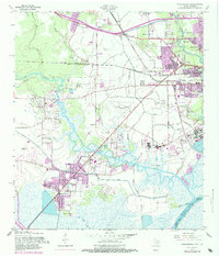
Cow Bayou meanders across this landscape, defining the character of the wetlands and lowlands between Orangefield and the expansion of West Orange. The map documents a period of significant suburban growth and infrastructure development along the Sabine-River corridor, including the operations of the Orange County Airport and the sprawling residential footprints near Pinehurst and Bridge City. Notable for genealogists, the map preserves the locations of several community landmarks like McLewis Sch and Bancroft Sch, alongside numerous family-named cemeteries such as Dorman Cem and Winfree Cem. The industrial and transport backbone of the region is evident in the routes of the Southern Pacific and Missouri Pacific railroads, which served the various settlements and local industry centers. The topography is also shaped by drainage features like Marie Gully and the engineered paths of the Shell Canal.
Find a feature on this map
41 named features on this map. Tap any name to fly to it.
Don’t see what you’re looking for? This feature index may not catch every label — zoom into the map to look around manually.
Map Details
Editions of this 1957 Orangefield Map
7 editions found
Other maps of this area

1926 · Terry
USGS Topo · 1:24,000

1926 · Texla
USGS Topo · 1:24,000

1926 · Mauriceville
USGS Topo · 1:24,000

1932 · Orange
USGS Topo · 1:62,500

1932 · Port Arthur NE
USGS Topo · 1:31,680

1934 · Greens Bayou
USGS Topo · 1:24,000

1935 · Greens Bayou
USGS Topo · 1:31,680

1943 · West of Greens Bayou
USGS Topo · 1:24,000

1943 · Orangefield
USGS Topo · 1:24,000

1943 · Mauriceville
USGS Topo · 1:24,000