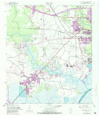
1957 Map of Orangefield
USGS Topo · Published 1984About this map
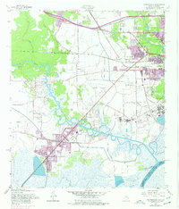
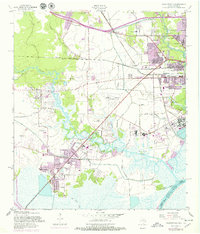
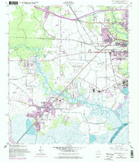
Cow Bayou meanders through the heart of this Southeast Texas landscape, defining the industrial and residential growth south of Orange. In the mid-1950s, the region was characterized by the convergence of heavy transport networks, including the Southern Pacific and Missouri Pacific railroads, which served the oil and petrochemical interests along the Sabine River. The emergence of Bridge City and Orangefield reflects the mid-century suburban expansion, while older landmarks like McLewis Sch and Winfree Ch point to the area's deeper rural roots. Significant infrastructure, from the Orange County Airport to the Intracoastal Waterway, underscores the coastal economy's reliance on both air and water. Local genealogy is well-documented through several family and community burial sites, including Dorman Cem, Jett Cem, and the more contemporary Hillcrest Memorial Gardens.
Find a feature on this map
46 named features on this map. Tap any name to fly to it.
Don’t see what you’re looking for? This feature index may not catch every label — zoom into the map to look around manually.
Map Details
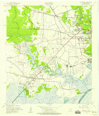
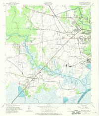
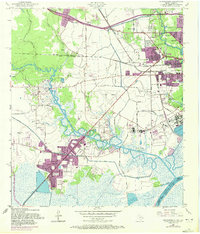
Editions of this 1957 Orangefield Map
7 editions found
Other maps of this area

1926 · Terry
USGS Topo · 1:24,000

1926 · Texla
USGS Topo · 1:24,000

1926 · Mauriceville
USGS Topo · 1:24,000

1932 · Orange
USGS Topo · 1:62,500

1932 · Port Arthur NE
USGS Topo · 1:31,680

1934 · Greens Bayou
USGS Topo · 1:24,000

1935 · Greens Bayou
USGS Topo · 1:31,680

1943 · West of Greens Bayou
USGS Topo · 1:24,000

1943 · Orangefield
USGS Topo · 1:24,000

1943 · Mauriceville
USGS Topo · 1:24,000