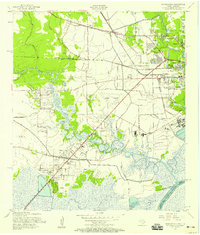
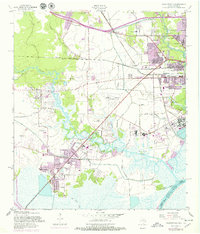
1957 Map of Orangefield
USGS Topo · Published 1958About this map
Cow Bayou winds through the heart of this coastal Texas landscape, defining a region of dense marshland and emerging post-war settlements. The transition from rural acreage to mid-century suburbanization is evident near Bridge City and the petroleum-rich area of Orangefield. This mid-1950s survey captures a landscape interlaced with infrastructure, from the historic Old Spanish Trail and the tracks of the Southern Pacific railroad to the specialized facilities of the Brown Airport. Local genealogy is well-preserved through numerous family-named landmarks and resting places, including the Dorman Cem, Winfree Cem, and Turner Cem. The map reveals the intricate water management of the era, showing an extensive network of levees and the Shell Canal supporting the drainage and industrial needs of Orange County near the Sabine River border.
Find a feature on this map
44 named features on this map. Tap any name to fly to it.
Don’t see what you’re looking for? This feature index may not catch every label — zoom into the map to look around manually.
Map Details
Editions of this 1957 Orangefield Map
7 editions found
Other maps of this area

1926 · Terry
USGS Topo · 1:24,000

1926 · Texla
USGS Topo · 1:24,000

1926 · Mauriceville
USGS Topo · 1:24,000

1932 · Orange
USGS Topo · 1:62,500

1932 · Port Arthur NE
USGS Topo · 1:31,680

1934 · Greens Bayou
USGS Topo · 1:24,000

1935 · Greens Bayou
USGS Topo · 1:31,680

1943 · West of Greens Bayou
USGS Topo · 1:24,000

1943 · Orangefield
USGS Topo · 1:24,000

1943 · Mauriceville
USGS Topo · 1:24,000