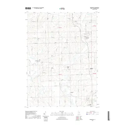
2018 Map of Orangeville
USGS Topo · Published 2018About this map
Orangeville and several smaller agricultural communities dot the landscape of northern Stephenson County, where the Pecatonica River winds through the southwestern corner of the quadrangle. The 2018 survey reveals a territory deeply rooted in its rural heritage, anchored by numerous small cemeteries and places of worship. Settlements like McConnell, Buena Vista, and Red Oak are interconnected by a network of local roads including W McConnell Rd and Old State Rte 26. The density of burial sites, such as the Richland Salem Lutheran Cem, Shippy Salem Cem, and the Silent Hill Cem, offers significant detail for genealogists tracing family histories in this part of Illinois. The map also captures the paths of several waterways, including Little Richland Cr and Waddams Cr, which drain the surrounding farmland as it extends toward the border of Cedarville in the south.
Find a feature on this map
85 named features on this map. Tap any name to fly to it.
Don’t see what you’re looking for? This feature index may not catch every label — zoom into the map to look around manually.
Map Details
Editions of this 2018 Orangeville Map
This is the sole edition of this map. No revisions or reprints were ever made.
Other maps of this area

1920 · Monroe
USGS Topo · 1:62,500

1922 · Monroe
USGS Topo · 1:62,500

1923 · South Wayne
USGS Topo · 1:62,500

1937 · Lena
USGS Topo · 1:48,000

1939 · Freeport
USGS Topo · 1:48,000

1942 · Lena
USGS Topo · 1:62,500

1943 · Lena
USGS Topo · 1:62,500

1944 · Freeport
USGS Topo · 1:62,500

1954 · Rockford
USGS Topo · 1:250,000

1955 · Rockford
USGS Topo · 1:250,000