2024 Map of Orangeville
USGS Topo · Published 2024About this map
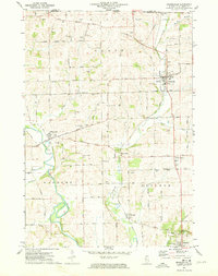
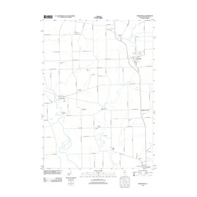
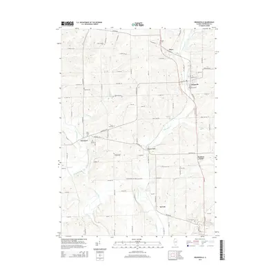
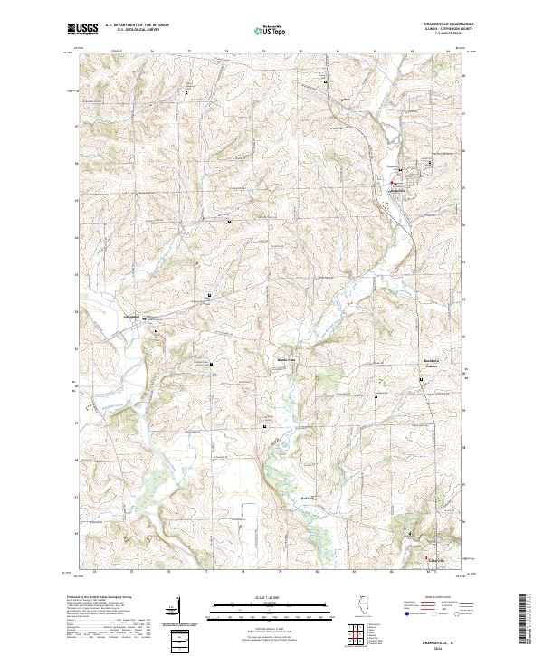
The Pecatonica River winds through this section of northern Illinois, anchoring a landscape shaped by agricultural tradition and small-town settlement. In the village of Orangeville, the street grid is flanked by the Orangeville Cem and Sunset Acres Cem, while to the west, McConnell sits near the river's bend. This area is notable for its high density of family and community burial grounds, such as the Shippee McConnell Cem and Richland Salem Lutheran Cem, which offer significant data points for genealogical research in Stephenson County.
Find a feature on this map
57 named features on this map. Tap any name to fly to it.
Don’t see what you’re looking for? This feature index may not catch every label — zoom into the map to look around manually.
Map Details
Editions of this 2024 Orangeville Map
This is the sole edition of this map. No revisions or reprints were ever made.
Historical Maps of Oneco Through Time
6 maps found