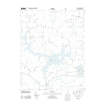
2012 Map of Oraville
USGS Topo · Published 2012About this map
The sprawling waters of Kinkaid Lake dominate this Jackson County landscape, its intricate shoreline creating numerous coves and fingers that reach into the surrounding timber. Along its southern reaches, the Big Muddy River meanders toward the southwest, joined by the Worthen Bayou near the settlement of Grimsby. The area is a hub for outdoor recreation, featuring numerous developed sites like the Buttermilk Hill Beach and Picnic Area and several campgrounds including Lily Campground and Shady Rest Campground.
Find a feature on this map
90 named features on this map. Tap any name to fly to it.
Don’t see what you’re looking for? This feature index may not catch every label — zoom into the map to look around manually.
Map Details
Editions of this 2012 Oraville Map
This is the sole edition of this map. No revisions or reprints were ever made.
Other maps of this area

1910 · Murphysboro
USGS Topo · 1:62,500

1916 · Campbell Hill
USGS Topo · 1:62,500

1918 · Altenburg
USGS Topo · 1:62,500

1918 · Campbell Hill
USGS Topo · 1:62,500

1924 · Alto Pass
USGS Topo · 1:62,500

1925 · Altenburg
USGS Topo · 1:62,500

1938 · Murphysboro
USGS Topo · 1:62,500

1947 · Alto Pass
USGS Topo · 1:62,500

1947 · Gorham
USGS Topo · 1:24,000

1947 · Altenburg
USGS Topo · 1:62,500