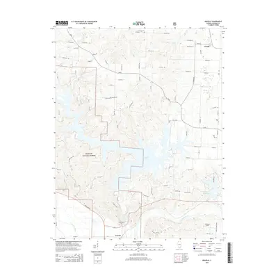
2015 Map of Oraville
USGS Topo · Published 2015About this map
The Big Muddy River meanders across the southern portion of this Illinois landscape, defining a complex topography of lowlands and ridges. This 2015 study captures the area's transition from the wooded expanses of the Shawnee National Forest to the managed waters of Kinkaid Lake and Lake Murphysboro. The settlement of Oraville sits in the northeast near Rattlesnake Creek, while Grimsby anchors the southwestern corner along the river corridor.
Find a feature on this map
73 named features on this map. Tap any name to fly to it.
Don’t see what you’re looking for? This feature index may not catch every label — zoom into the map to look around manually.
Map Details
Editions of this 2015 Oraville Map
This is the sole edition of this map. No revisions or reprints were ever made.
Other maps of this area
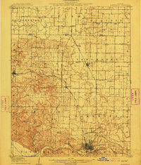
1910 · Murphysboro
USGS Topo · 1:62,500
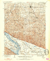
1916 · Campbell Hill
USGS Topo · 1:62,500
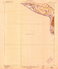
1918 · Altenburg
USGS Topo · 1:62,500
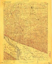
1918 · Campbell Hill
USGS Topo · 1:62,500
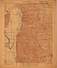
1924 · Alto Pass
USGS Topo · 1:62,500
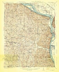
1925 · Altenburg
USGS Topo · 1:62,500
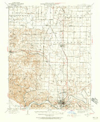
1938 · Murphysboro
USGS Topo · 1:62,500
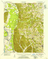
1947 · Alto Pass
USGS Topo · 1:62,500
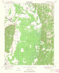
1947 · Gorham
USGS Topo · 1:24,000
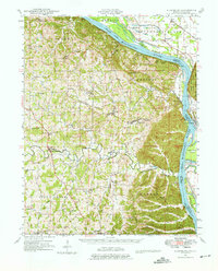
1947 · Altenburg
USGS Topo · 1:62,500