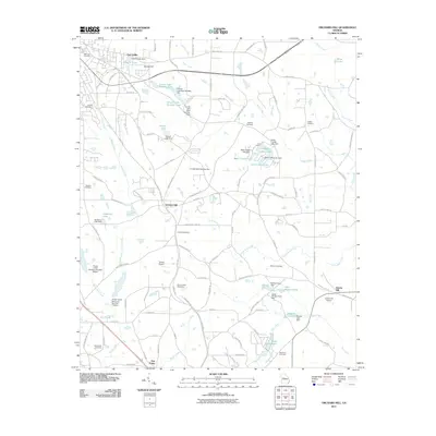
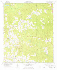
2011 Map of Orchard Hill
USGS Topo · Published 2011About this map
Orchard Hill and the outskirts of East Griffin anchor this portion of Spalding County, characterized by a complex network of small private reservoirs and family-named cemeteries. The landscape is defined by the drainage of Potato Creek and its tributaries, including Honey Bee Creek and Grape Creek, which have been extensively dammed to create water bodies like Sowell Lake, North Crystal Lake, and the series of Crouch Lake ponds.
Find a feature on this map
121 named features on this map. Tap any name to fly to it.
Don’t see what you’re looking for? This feature index may not catch every label — zoom into the map to look around manually.
Map Details
Editions of this 2011 Orchard Hill Map
This is the sole edition of this map. No revisions or reprints were ever made.
Other maps of this area

1951 · Barnesville
USGS Topo · 1:62,500

1953 · Atlanta
USGS Topo · 1:250,000

1957 · Atlanta
USGS Topo · 1:250,000

1958 · Atlanta
USGS Topo · 1:250,000

1964 · Luella
USGS Topo · 1:24,000
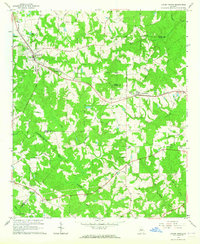
1964 · Locust Grove
USGS Topo · 1:24,000

1965 · Griffin North
USGS Topo · 1:24,000
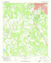
1971 · Griffin South
USGS Topo · 1:24,000
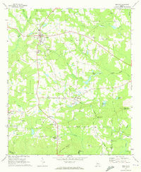
1971 · Zebulon
USGS Topo · 1:24,000
1973 · Johnstonville
USGS Topo · 1:24,000