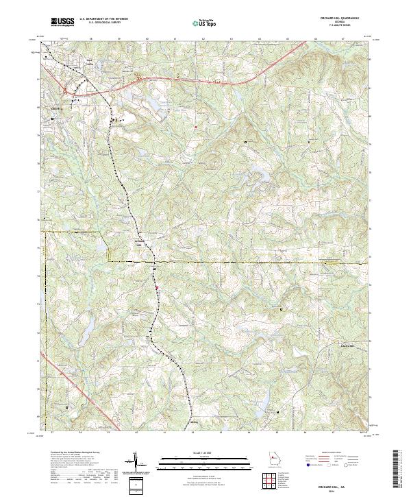
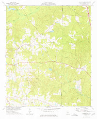
2024 Map of Orchard Hill
USGS Topo · Published 2024About this map
The Central of Georgia railroad corridor anchors this area of Spalding and Lamar Counties, linking the industrial edge of Griffin to the rural communities of Orchard Hill and Milner. The landscape is a mix of agricultural parcels and small water bodies, including Crouch Lake Number Two and Spalamar Lake. For family historians, this sheet is particularly dense with small, localized burial grounds such as Union Cem, Ogletree Cem, and the Cauthen - Blackman Cem near the southern edge.
Find a feature on this map
172 named features on this map. Tap any name to fly to it.
Don’t see what you’re looking for? This feature index may not catch every label — zoom into the map to look around manually.
Map Details
Editions of this 2024 Orchard Hill Map
This is the sole edition of this map. No revisions or reprints were ever made.
Other maps of this area

1951 · Barnesville
USGS Topo · 1:62,500

1953 · Atlanta
USGS Topo · 1:250,000

1957 · Atlanta
USGS Topo · 1:250,000

1958 · Atlanta
USGS Topo · 1:250,000

1964 · Luella
USGS Topo · 1:24,000
1964 · Locust Grove
USGS Topo · 1:24,000

1965 · Griffin North
USGS Topo · 1:24,000
1971 · Griffin South
USGS Topo · 1:24,000
1971 · Zebulon
USGS Topo · 1:24,000
1973 · Johnstonville
USGS Topo · 1:24,000