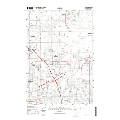
2013 Map of Orchards
USGS Topo · Published 2013About this map
Vancouver and its expanding suburbs are documented in this 2013 survey, which illustrates a landscape of dense residential subdivisions and historical rural pockets. The drainage of Salmon Creek and Curtin Creek defines the northern topography, where older settlements like Meadow Glade and Brush Prairie persist alongside modern developments. For those researching family history, the map identifies numerous burial sites, including Bethel Cemetery and Elim Cemetery in the north, and Park Hill Cemetery near the city center.
Find a feature on this map
171 named features on this map. Tap any name to fly to it.
Don’t see what you’re looking for? This feature index may not catch every label — zoom into the map to look around manually.
Map Details
Editions of this 2013 Orchards Map
This is the sole edition of this map. No revisions or reprints were ever made.
Other maps of this area

1897 · Portland
USGS Topo · 1:62,500

1905 · Portland
USGS Topo · 1:62,500

1918 · Troutdale
USGS Topo · 1:62,500

1934 · Troutdale
USGS Topo · 1:48,000

1940 · Portland
USGS Topo · 1:62,500

1940 · La Center
USGS Topo · 1:62,500

1941 · Yacolt
USGS Topo · 1:62,500

1941 · Camas
USGS Topo · 1:62,500

1942 · Camas
USGS Topo · 1:62,500

1948 · Vancouver
USGS Topo · 1:250,000