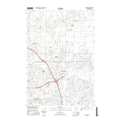
2017 Map of Orchards
USGS Topo · Published 2017About this map
The suburban and rural interface of Clark County is mapped here in detail, showcasing the northern expansion of Vancouver and its surrounding communities. The landscape is a network of residential growth and established agricultural land, punctuated by a series of local airfields including the Brush Prairie Aerodrome, Fly For Fun Airport, and Evergreen North-South Airpark. The area preserves its pioneer roots through numerous small burial grounds such as Elim Cem, Bethel Cem, and Wilson Bridge Cem, which sit alongside historic settlement names like Brush Prairie, Homan, and Sifton. Natural drainage follows the paths of Salmon Creek in the north and Burnt Bridge Creek in the south. This survey reveals how the grid of local roads, such as NE Prairie Rd and NE Paddon Pkwy, has integrated formerly distinct locales like Walnut Grove and Five Corners into a continuous developed corridor.
Find a feature on this map
130 named features on this map. Tap any name to fly to it.
Don’t see what you’re looking for? This feature index may not catch every label — zoom into the map to look around manually.
Map Details
Editions of this 2017 Orchards Map
This is the sole edition of this map. No revisions or reprints were ever made.
Other maps of this area

1897 · Portland
USGS Topo · 1:62,500

1905 · Portland
USGS Topo · 1:62,500

1918 · Troutdale
USGS Topo · 1:62,500

1934 · Troutdale
USGS Topo · 1:48,000

1940 · Portland
USGS Topo · 1:62,500

1940 · La Center
USGS Topo · 1:62,500

1941 · Yacolt
USGS Topo · 1:62,500

1941 · Camas
USGS Topo · 1:62,500

1942 · Camas
USGS Topo · 1:62,500

1948 · Vancouver
USGS Topo · 1:250,000