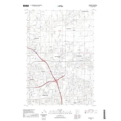
2020 Map of Orchards
USGS Topo · Published 2020About this map
Vancouver and its surrounding suburban communities are depicted here in detail, showing a landscape defined by an extensive grid of numbered streets and significant aviation infrastructure. The map traces the growth of settlements like Orchards, Sifton, and Minnehaha, which were once distinct rural locales but have largely integrated into the expanding metropolitan area. Genealogists and local historians will find a high concentration of burial sites throughout the quadrangle, including the Saint John the Evangelist Catholic Cem, Bethel Cem, and the expansive Evergreen Memorial Gardens. The northern portion of the map retains a more open character near Battle Ground, where the headwaters of Salmon Creek and Weaver Creek flow through the terrain. Small airfields such as the Brush Prairie Aerodrome and Fly for Fun Airport underscore the regional importance of general aviation in Clark County.
Find a feature on this map
156 named features on this map. Tap any name to fly to it.
Don’t see what you’re looking for? This feature index may not catch every label — zoom into the map to look around manually.
Map Details
Editions of this 2020 Orchards Map
This is the sole edition of this map. No revisions or reprints were ever made.
Other maps of this area

1897 · Portland
USGS Topo · 1:62,500

1905 · Portland
USGS Topo · 1:62,500

1918 · Troutdale
USGS Topo · 1:62,500

1934 · Troutdale
USGS Topo · 1:48,000

1940 · Portland
USGS Topo · 1:62,500

1940 · La Center
USGS Topo · 1:62,500

1941 · Yacolt
USGS Topo · 1:62,500

1941 · Camas
USGS Topo · 1:62,500

1942 · Camas
USGS Topo · 1:62,500

1948 · Vancouver
USGS Topo · 1:250,000