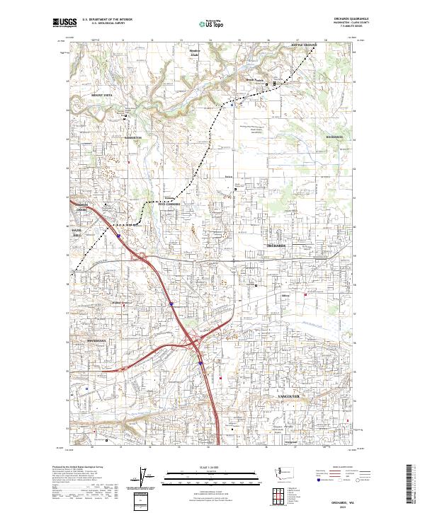
2023 Map of Orchards
USGS Topo · Published 2023About this map
The suburban landscape of Clark County takes center stage on this detailed study, where historical cemeteries and modern infrastructure intersect. The geography is defined by the drainage of Salmon Creek and Burnt Bridge Creek, which carve through the plateau known as Fourth Plain. This area maintains a mix of its rural past and expanding residential footprints, visible in the cluster of burial grounds like Evergreen Memorial Gardens and the Saint John the Evangelist Catholic Cem. Aviation history is well-represented by several small landing strips, including the Brush Prairie Aerodrome, Fly for Fun Airport, and Evergreen North-South Airpark. These features, alongside named crossroads like Homan and Sifton, illustrate the transition from independent farming communities to the interconnected suburbs of north Vancouver.
Find a feature on this map
44 named features on this map. Tap any name to fly to it.
Don’t see what you’re looking for? This feature index may not catch every label — zoom into the map to look around manually.
Map Details
Editions of this 2023 Orchards Map
This is the sole edition of this map. No revisions or reprints were ever made.
Other maps of this area

1897 · Portland
USGS Topo · 1:62,500

1905 · Portland
USGS Topo · 1:62,500

1918 · Troutdale
USGS Topo · 1:62,500

1934 · Troutdale
USGS Topo · 1:48,000

1940 · Portland
USGS Topo · 1:62,500

1940 · La Center
USGS Topo · 1:62,500

1941 · Yacolt
USGS Topo · 1:62,500

1941 · Camas
USGS Topo · 1:62,500

1942 · Camas
USGS Topo · 1:62,500

1948 · Vancouver
USGS Topo · 1:250,000