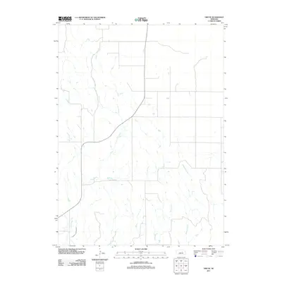
2011 Map of Ord NE
USGS Topo · Published 2011About this map
Burwell Sumter Canal defines the southwestern corner of this Nebraska landscape, cutting across the drainages of the Garfield County countryside. The area is characterized by a network of waterways including Elm Creek, which winds northward through the center of the sheet, and the parallel flows of Spring Creek and Messenger Creek to the east. These natural watercourses and man-made irrigation infrastructure illustrate the agricultural dependency of the region. Oak Canyon Rd provides one of the few named terrestrial landmarks, anchoring a sparse grid of local routes that connect isolated farmsteads and fields within this quiet stretch of the Great Plains.
Find a feature on this map
5 named features on this map. Tap any name to fly to it.
Don’t see what you’re looking for? This feature index may not catch every label — zoom into the map to look around manually.
Map Details
Editions of this 2011 Ord NE Map
This is the sole edition of this map. No revisions or reprints were ever made.
Other maps of this area

1954 · Ord SE
USGS Topo · 1:24,000

1954 · Ord
USGS Topo · 1:24,000

1954 · Gables SE
USGS Topo · 1:24,000

1954 · Gables SW
USGS Topo · 1:24,000

1954 · Ord NE
USGS Topo · 1:24,000

1954 · Horace
USGS Topo · 1:24,000

1954 · Ord NW
USGS Topo · 1:24,000

1954 · Greeley NW
USGS Topo · 1:24,000

1954 · Ericson
USGS Topo · 1:24,000

1955 · Broken Bow
USGS Topo · 1:250,000