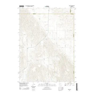
2014 Map of Ord NE
USGS Topo · Published 2014About this map
The Burwell-Sumter Canal winds through this Nebraska landscape, illustrating the critical role of water management in the Sandhills region. This area, where Garfield, Valley, Wheeler, and Greeley counties converge, is defined by a network of seasonal and perennial drainages including Elm Cr and Spring Cr. The terrain is navigated by a grid of rural routes such as Oak Canyon Rd and Amity Rd, reflecting the sparse but organized settlement pattern of the early 21st century. The map provides a detailed view of the complex topography where Messenger Cr and various unnamed draws shape the local ranching and agricultural environment. This survey captures the essential infrastructure of the high plains, from the Joint Loop to the transition between diverse county jurisdictions.
Find a feature on this map
18 named features on this map. Tap any name to fly to it.
Don’t see what you’re looking for? This feature index may not catch every label — zoom into the map to look around manually.
Map Details
Editions of this 2014 Ord NE Map
This is the sole edition of this map. No revisions or reprints were ever made.
Other maps of this area

1954 · Ord SE
USGS Topo · 1:24,000

1954 · Ord
USGS Topo · 1:24,000

1954 · Gables SE
USGS Topo · 1:24,000

1954 · Gables SW
USGS Topo · 1:24,000

1954 · Ord NE
USGS Topo · 1:24,000

1954 · Horace
USGS Topo · 1:24,000

1954 · Ord NW
USGS Topo · 1:24,000

1954 · Greeley NW
USGS Topo · 1:24,000

1954 · Ericson
USGS Topo · 1:24,000

1955 · Broken Bow
USGS Topo · 1:250,000