
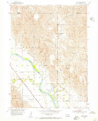
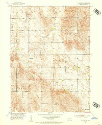
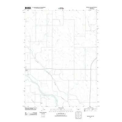
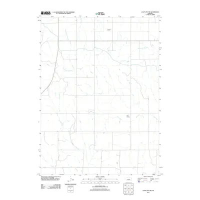
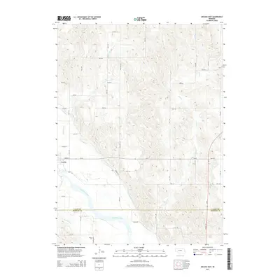
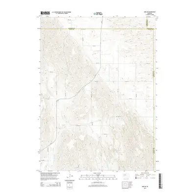
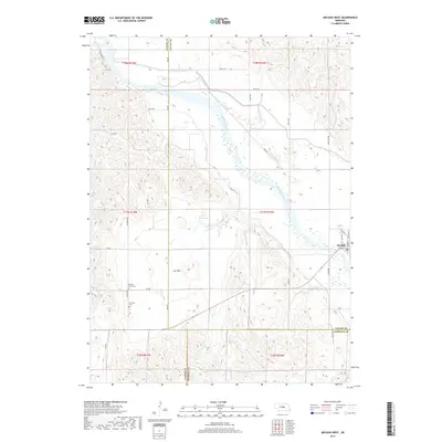
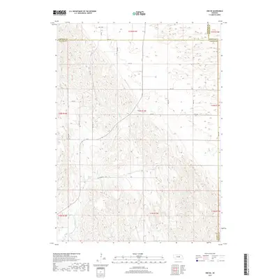
1954 Map of Ord NW
USGS Topo · Published 1985About this map
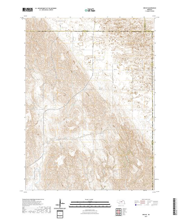
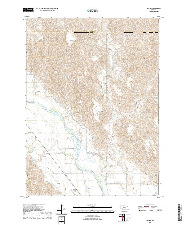
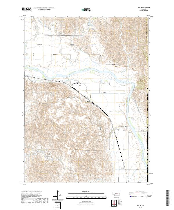
The North Loup River valley in central Nebraska reveals a landscape deeply defined by water management and mid-century rural education. Surveyed in the early 1950s, this area at the border of Garfield and Valley counties shows an intricate network of irrigation, including the Burwell Sumter Canal and the Taylor-Ord Canal, supporting the local agricultural economy. The presence of several country schools, such as Haskell Creek Sch, Sunnyslope Sch, and Post Sch, speaks to a time when small, localized school districts were the heart of the farming community. Transportation history is evidenced by an Old Railroad Grade cutting across the terrain, marking the path of former rail commerce through the river flats. Other landmarks include the Sharp Field landing strip and numerous Windmill sites, typical of the high plains livestock operations during this era.
Find a feature on this map
12 named features on this map. Tap any name to fly to it.
Don’t see what you’re looking for? This feature index may not catch every label — zoom into the map to look around manually.
Map Details
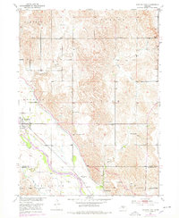
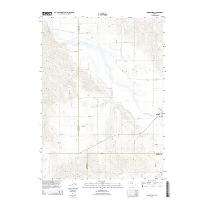
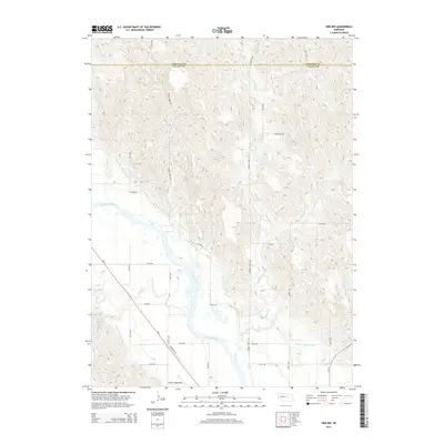
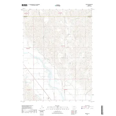
Editions of this 1954 Ord NW Map
2 editions found
Historical Maps of Valley County Through Time
40 maps found
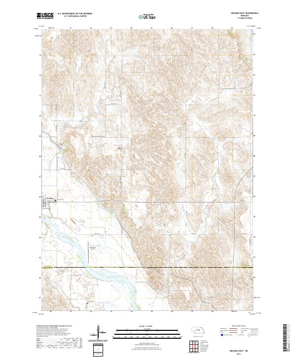
1951 Arcadia East
Valley County, NE
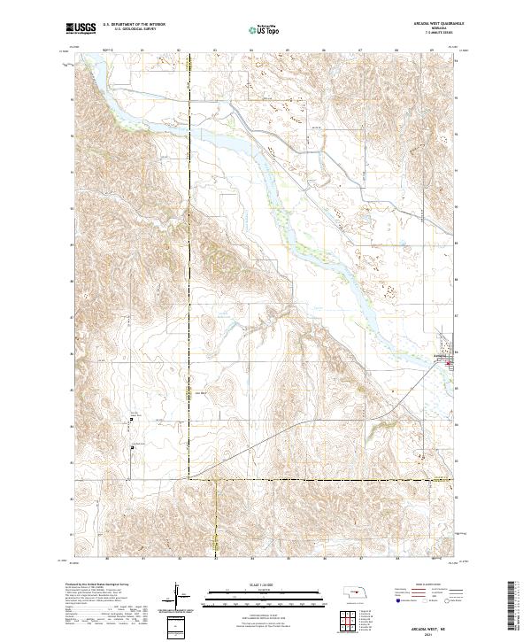
1951 Arcadia West
Valley County, NE
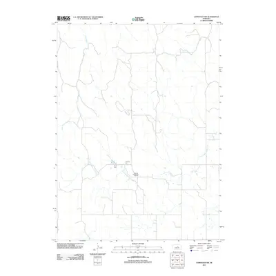
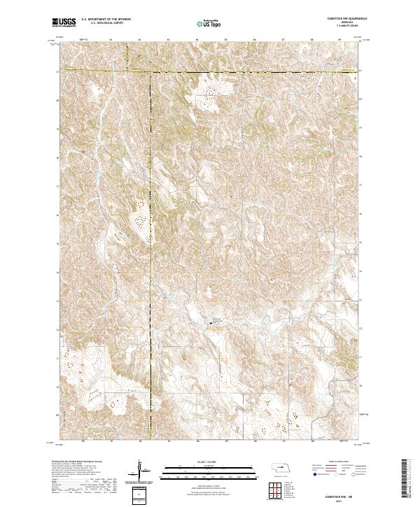
1952 Comstock NW
Valley County, NE
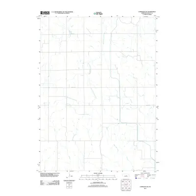
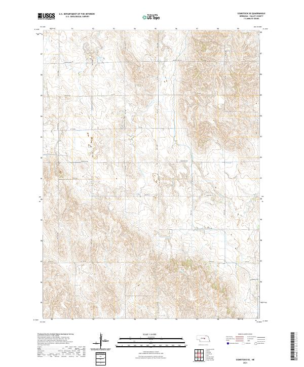
1952 Comstock SE
Valley County, NE
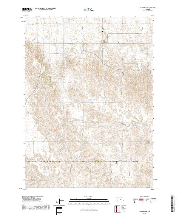
1953 Loup City NW
Valley County, NE
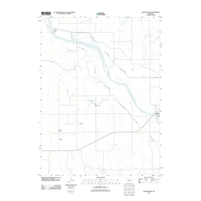
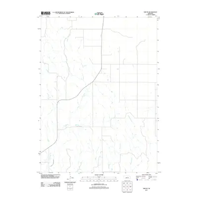
1954 Ord NE
Valley County, NE
1954 Ord NW
Valley County, NE
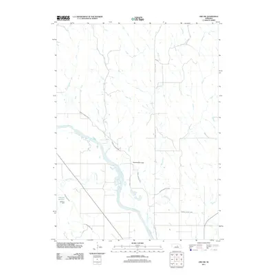
1954 Ord SE
Valley County, NE
2011 Arcadia East
Valley County, NE
2011 Arcadia West
Valley County, NE
2011 Comstock NW
Valley County, NE
2011 Comstock SE
Valley County, NE
2011 Loup City NW
Valley County, NE
2011 Ord NE
Valley County, NE
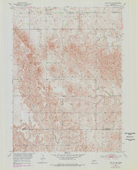
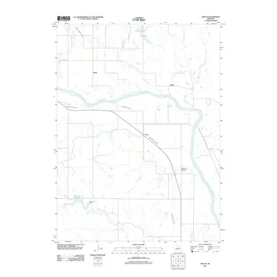
2011 Ord NW
Valley County, NE
2011 Ord SE
Valley County, NE
2014 Arcadia East
Valley County, NE
2014 Arcadia West
Valley County, NE
2014 Comstock NW
Valley County, NE

2014 Comstock SE
Valley County, NE
2014 Loup City NW
Valley County, NE
2014 Ord NE
Valley County, NE
2014 Ord NW
Valley County, NE
2014 Ord SE
Valley County, NE
2017 Arcadia East
Valley County, NE
2017 Arcadia West
Valley County, NE
2017 Comstock NW
Valley County, NE
2017 Comstock SE
Valley County, NE
2017 Loup City NW
Valley County, NE
2017 Ord NE
Valley County, NE
2017 Ord NW
Valley County, NE
2017 Ord SE
Valley County, NE
2021 Arcadia East
Valley County, NE
2021 Arcadia West
Valley County, NE
2021 Comstock NW
Valley County, NE
2021 Comstock SE
Valley County, NE
2021 Loup City NW
Valley County, NE
2021 Ord NE
Valley County, NE
2021 Ord NW
Valley County, NE
2021 Ord SE
Valley County, NE