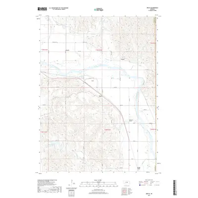
2017 Map of Ord SE
USGS Topo · Published 2017About this map
The North Loup River valley dominates this landscape, where complex irrigation systems reflect the area's agricultural foundations. The Burwell-Sumter Canal and the Ord-North Loup Canal parallel the river, serving a series of small rural hubs including Ord, North Loup, and Olean. The topography transitions from the wide, flat river bottoms to the dissected uplands of McDowell Canyon and the drainages of Mira Cr. In the northern reaches, the Wolf Reservoir and Bredthauer Reservoir further highlight the management of water resources in this part of Valley County. The settlement pattern follows the river's path, with established grid roads like Springdale Rd and 811th Rd connecting isolated farmsteads at Spelts and Sumter.
Find a feature on this map
37 named features on this map. Tap any name to fly to it.
Don’t see what you’re looking for? This feature index may not catch every label — zoom into the map to look around manually.
Map Details
Editions of this 2017 Ord SE Map
This is the sole edition of this map. No revisions or reprints were ever made.
Other maps of this area

1899 · Loup
USGS Topo · 1:125,000

1953 · Loup City NW
USGS Topo · 1:24,000

1953 · North Loup
USGS Topo · 1:24,000

1953 · Scotia
USGS Topo · 1:24,000

1954 · Ord SE
USGS Topo · 1:24,000

1954 · Ord
USGS Topo · 1:24,000

1954 · Ord NE
USGS Topo · 1:24,000

1954 · Horace
USGS Topo · 1:24,000

1954 · Ord NW
USGS Topo · 1:24,000

1954 · Greeley NW
USGS Topo · 1:24,000