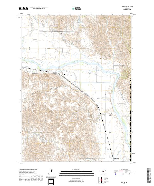
2021 Map of Ord SE
USGS Topo · Published 2021About this map
The North Loup River valley dominates this portion of Valley and Greeley counties, serving as the central axis for both settlement and agriculture. The landscape is defined by an extensive irrigation network, including the Burwell-Sumter Canal and the Ord-North Loup Canal, which divert water to support the surrounding plains. These engineering works speak to the regional reliance on the river system for agricultural stability.
Find a feature on this map
42 named features on this map. Tap any name to fly to it.
Don’t see what you’re looking for? This feature index may not catch every label — zoom into the map to look around manually.
Map Details
Editions of this 2021 Ord SE Map
This is the sole edition of this map. No revisions or reprints were ever made.
Other maps of this area

1899 · Loup
USGS Topo · 1:125,000

1953 · Loup City NW
USGS Topo · 1:24,000

1953 · North Loup
USGS Topo · 1:24,000

1953 · Scotia
USGS Topo · 1:24,000

1954 · Ord SE
USGS Topo · 1:24,000

1954 · Ord
USGS Topo · 1:24,000

1954 · Ord NE
USGS Topo · 1:24,000

1954 · Horace
USGS Topo · 1:24,000

1954 · Ord NW
USGS Topo · 1:24,000

1954 · Greeley NW
USGS Topo · 1:24,000