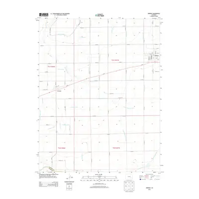
2013 Map of Ordway
USGS Topo · Published 2013About this map
Ordway and Crowley anchor this high-plains landscape, which is defined by a complex network of agricultural irrigation engineering. The Colorado Canal and Crowley Drain Canal cut across the terrain, supported by an extensive system of secondary ditches including the Boston Farm Lateral, Dayton Lateral, and S Ordway Lateral. This infrastructure illustrates the region's total reliance on water management for survival and industry.
Find a feature on this map
73 named features on this map. Tap any name to fly to it.
Don’t see what you’re looking for? This feature index may not catch every label — zoom into the map to look around manually.
Map Details
Editions of this 2013 Ordway Map
This is the sole edition of this map. No revisions or reprints were ever made.
Other maps of this area

1891 · Catlin
USGS Topo · 1:125,000

1893 · Catlin
USGS Topo · 1:125,000

1954 · Olney Springs
USGS Topo · 1:24,000

1954 · Elder
USGS Topo · 1:24,000

1954 · Sugar City
USGS Topo · 1:24,000

1954 · Ordway
USGS Topo · 1:24,000

1954 · Manzanola
USGS Topo · 1:24,000

1954 · Lamar
USGS Topo · 1:250,000

1955 · Rocky Ford
USGS Topo · 1:24,000

1958 · Lamar
USGS Topo · 1:250,000