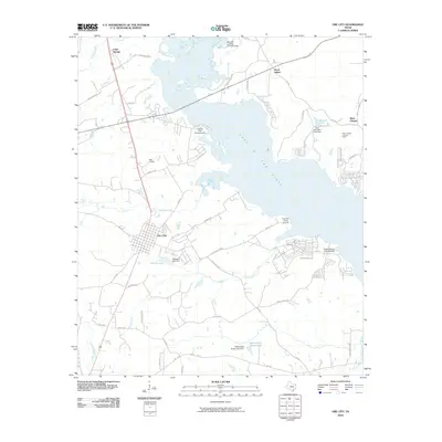
2010 Map of Ore City
USGS Topo · Published 2010About this map
Ore City sits at the heart of this East Texas landscape, bounded to the east by the expansive waters of Lake O' the Pines. This 2010 survey illustrates the region's character as a mix of timberland and water resources, with numerous named creeks like Meddlin Creek and Jones Creek feeding into the larger reservoir. Small settlements and points of interest dot the periphery, including Cedar Springs to the northwest and the Mims Chapel community to the northeast, which features a church and the Mims Chapel Lookout Tower.
Find a feature on this map
58 named features on this map. Tap any name to fly to it.
Don’t see what you’re looking for? This feature index may not catch every label — zoom into the map to look around manually.
Map Details
Editions of this 2010 Ore City Map
This is the sole edition of this map. No revisions or reprints were ever made.
Other maps of this area

1956 · Tyler
USGS Topo · 1:250,000

1960 · Coffeeville
USGS Topo · 1:24,000

1960 · Glenwood
USGS Topo · 1:24,000

1960 · La Fayette
USGS Topo · 1:24,000

1961 · Lassater
USGS Topo · 1:24,000

1961 · Harleton
USGS Topo · 1:24,000

1962 · Ashland
USGS Topo · 1:24,000

1962 · Avinger
USGS Topo · 1:24,000

1962 · Ore City
USGS Topo · 1:24,000

1962 · Lone Star
USGS Topo · 1:24,000