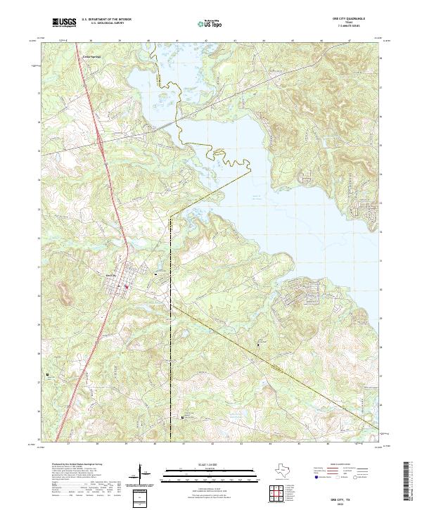
2022 Map of Ore City
USGS Topo · Published 2022About this map
Lake O' the Pines dominates the northeastern landscape of this East Texas region, where the borders of Upshur, Marion, and Harrison counties converge. The modern settlement of Ore City serves as a central hub, surrounded by a network of smaller communities and named landmarks like Cedar Springs and the Patto Settlement. The topography is defined by the winding course of Big Cypress Creek and numerous smaller tributaries such as Meddlin Cr and Beauchamp Cr.
Find a feature on this map
119 named features on this map. Tap any name to fly to it.
Don’t see what you’re looking for? This feature index may not catch every label — zoom into the map to look around manually.
Map Details
Editions of this 2022 Ore City Map
This is the sole edition of this map. No revisions or reprints were ever made.
Other maps of this area

1956 · Tyler
USGS Topo · 1:250,000

1960 · Coffeeville
USGS Topo · 1:24,000

1960 · Glenwood
USGS Topo · 1:24,000

1960 · La Fayette
USGS Topo · 1:24,000

1961 · Lassater
USGS Topo · 1:24,000

1961 · Harleton
USGS Topo · 1:24,000

1962 · Ashland
USGS Topo · 1:24,000

1962 · Avinger
USGS Topo · 1:24,000

1962 · Ore City
USGS Topo · 1:24,000

1962 · Lone Star
USGS Topo · 1:24,000