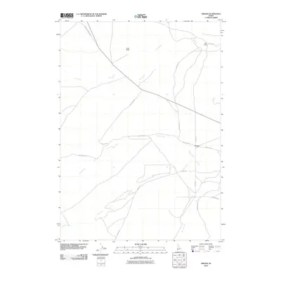
2010 Map of Oreana
USGS Topo · Published 2010About this map
The small settlement of Oreana serves as the focal point of this high-desert landscape in Owyhee County. Located at the intersection of Oreana Rd, Bates Creek Rd, and Short Cut Rd, the area is defined by a sparse network of ranch roads and significant watercourses that drain the surrounding basin. To the north, Rye Patch lies near the upper reaches of Fossil Creek, while Fossil Butte stands as a prominent topographical landmark. The hydrology of the region is well-articulated, showing the paths of Pickett Creek, Hart Creek, and Browns Creek as they traverse the arid terrain. The mapping reveals a rural infrastructure dependent on established routes like Murphy Grandview Rd and Nettleton Rd, reflecting the enduring settlement patterns of this part of Idaho.
Find a feature on this map
17 named features on this map. Tap any name to fly to it.
Don’t see what you’re looking for? This feature index may not catch every label — zoom into the map to look around manually.
Map Details
Editions of this 2010 Oreana Map
This is the sole edition of this map. No revisions or reprints were ever made.
Other maps of this area
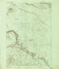
1892 · Bisuka
USGS Topo · 1:125,000
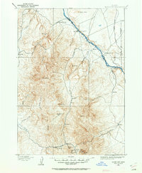
1892 · Silver City
USGS Topo · 1:125,000
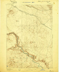
1894 · Bisuka
USGS Topo · 1:125,000
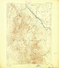
1894 · Silver City
USGS Topo · 1:125,000
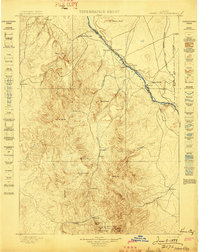
1898 · Silver City
USGS Topo · 1:125,000
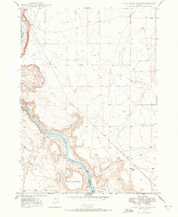
1947 · Wild Horse Butte
USGS Topo · 1:24,000
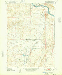
1948 · Castle Butte
USGS Topo · 1:24,000
1948 · Wild Horse Butte
USGS Topo · 1:24,000
1948 · Sinker Butte
USGS Topo · 1:24,000
1949 · Sinker Butte
USGS Topo · 1:24,000