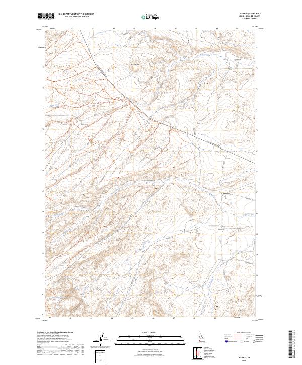
2023 Map of Oreana
USGS Topo · Published 2023About this map
Oreana serves as the primary settlement hub in this high-desert Owyhee County landscape, where the topography is defined by the drainage networks of the Owyhee Mountains. To the north, Fossil Butte and the Rye Patch area overlook the meandering course of Fossil Creek, while the southern portion of the map is dissected by Pickett Creek, Bates Creek, and Hart Creek. This 2023 survey by the U.S. Geological Survey details a rural infrastructure of long-established ranch roads and connectors such as Murphy Grandview Rd and Triangle Rd. Local history is anchored at the Oreana Cem, situated just south of the main town site. The map captures the persistence of traditional land divisions, clearly marking the section lines of Townships 3S through 5S, and provides a contemporary record of water resources like Catherine Creek and Little Hart Creek within this arid high-elevation environment.
Find a feature on this map
28 named features on this map. Tap any name to fly to it.
Don’t see what you’re looking for? This feature index may not catch every label — zoom into the map to look around manually.
Map Details
Editions of this 2023 Oreana Map
This is the sole edition of this map. No revisions or reprints were ever made.
Other maps of this area

1892 · Bisuka
USGS Topo · 1:125,000

1892 · Silver City
USGS Topo · 1:125,000

1894 · Bisuka
USGS Topo · 1:125,000

1894 · Silver City
USGS Topo · 1:125,000

1898 · Silver City
USGS Topo · 1:125,000

1947 · Wild Horse Butte
USGS Topo · 1:24,000

1948 · Castle Butte
USGS Topo · 1:24,000

1948 · Wild Horse Butte
USGS Topo · 1:24,000

1948 · Sinker Butte
USGS Topo · 1:24,000

1949 · Sinker Butte
USGS Topo · 1:24,000