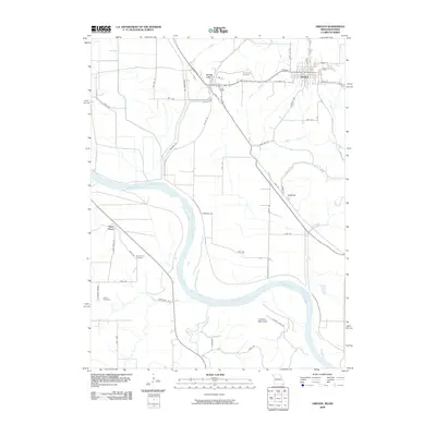
2009 Map of Oregon
USGS Topo · Published 2009About this map
Oregon and Forest City serve as the primary hubs of this landscape along the eastern bluffs of the Missouri River. The terrain transitions from the wide, fertile river valley into a series of ridges and creek drainages, including Mill Creek and Hickory Creek. Local family and community history is preserved through sites such as Forest City Cemetery, Iowa Point Cemetery, and Martin Cemetery, while the river itself is joined by the Wolf River as it winds through the southwestern corner. Transportation in this part of Holt County relies on a network of routes like State Hwy T Bus and several secondary roads such as Miller Rd and Prairie Rd. Near the river's edge, smaller settlements like Curzon and Iowa Point reflect the longstanding connection between the local economy and the major waterway.
Find a feature on this map
51 named features on this map. Tap any name to fly to it.
Don’t see what you’re looking for? This feature index may not catch every label — zoom into the map to look around manually.
Map Details
Editions of this 2009 Oregon Map
This is the sole edition of this map. No revisions or reprints were ever made.
Other maps of this area

1885 · Atchison
USGS Topo · 1:125,000

1888 · Atchison
USGS Topo · 1:125,000

1893 · Atchison
USGS Topo · 1:125,000

1920 · Craig
USGS Topo · 1:62,500

1926 · Oregon
USGS Topo · 1:62,500

1926 · Maitland
USGS Topo · 1:62,500

1950 · Kansas City
USGS Topo · 1:250,000

1954 · Kansas City
USGS Topo · 1:250,000

1955 · Nebraska City
USGS Topo · 1:250,000

1956 · Kansas City
USGS Topo · 1:250,000