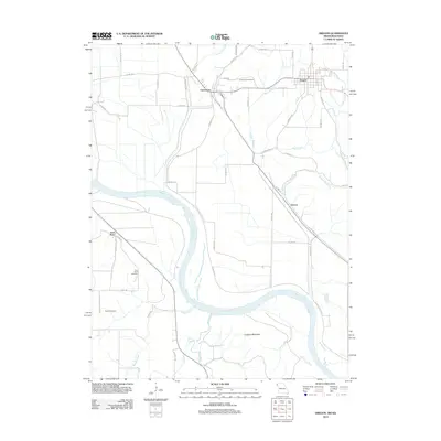
2012 Map of Oregon
USGS Topo · Published 2012About this map
The Missouri River dominates the western and southern landscape of this Missouri-Kansas border region, carving a wide alluvial valley that separates Iowa Point from the bluff-top settlements to the east. The town of Oregon serves as a primary hub on the higher ground, while the community of Forest City sits at the foot of the bluffs where the river plain begins. This 2012 survey illustrates the complex drainage network of the Loess Hills, where steep-cut channels like Davis Branch and Mill Creek flow toward the Missouri. Local history is anchored by several burial sites, including Forest City Cemetery, Iowa Point Cemetery, and Martin Cemetery, providing clear points of reference for genealogists. To the south, the prominent rise of Lookout Mountain overlooks the confluence area where the Wolf River and Mission Creek meet the main river channel.
Find a feature on this map
55 named features on this map. Tap any name to fly to it.
Don’t see what you’re looking for? This feature index may not catch every label — zoom into the map to look around manually.
Map Details
Editions of this 2012 Oregon Map
This is the sole edition of this map. No revisions or reprints were ever made.
Other maps of this area

1885 · Atchison
USGS Topo · 1:125,000

1888 · Atchison
USGS Topo · 1:125,000

1893 · Atchison
USGS Topo · 1:125,000

1920 · Craig
USGS Topo · 1:62,500

1926 · Oregon
USGS Topo · 1:62,500

1926 · Maitland
USGS Topo · 1:62,500

1950 · Kansas City
USGS Topo · 1:250,000

1954 · Kansas City
USGS Topo · 1:250,000

1955 · Nebraska City
USGS Topo · 1:250,000

1956 · Kansas City
USGS Topo · 1:250,000