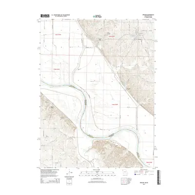
2014 Map of Oregon
USGS Topo · Published 2014About this map
The Missouri River creates a dynamic border between Missouri and Kansas, carving a wide valley floor where the river loops south of Forest City. On the eastern bluffs, the town of Oregon sits atop the higher terrain, overlooking the river bottomlands. This 2014 survey documents the varied topography of Holt County, from the floodplain of the Wolf River to the prominent height of Lookout Mtn. Small settlements and historic sites are scattered throughout the river valley and its adjacent hills, including Curzon and Iowa Point.
Find a feature on this map
65 named features on this map. Tap any name to fly to it.
Don’t see what you’re looking for? This feature index may not catch every label — zoom into the map to look around manually.
Map Details
Editions of this 2014 Oregon Map
This is the sole edition of this map. No revisions or reprints were ever made.
Other maps of this area

1885 · Atchison
USGS Topo · 1:125,000

1888 · Atchison
USGS Topo · 1:125,000

1893 · Atchison
USGS Topo · 1:125,000

1920 · Craig
USGS Topo · 1:62,500

1926 · Oregon
USGS Topo · 1:62,500

1926 · Maitland
USGS Topo · 1:62,500

1950 · Kansas City
USGS Topo · 1:250,000

1954 · Kansas City
USGS Topo · 1:250,000

1955 · Nebraska City
USGS Topo · 1:250,000

1956 · Kansas City
USGS Topo · 1:250,000