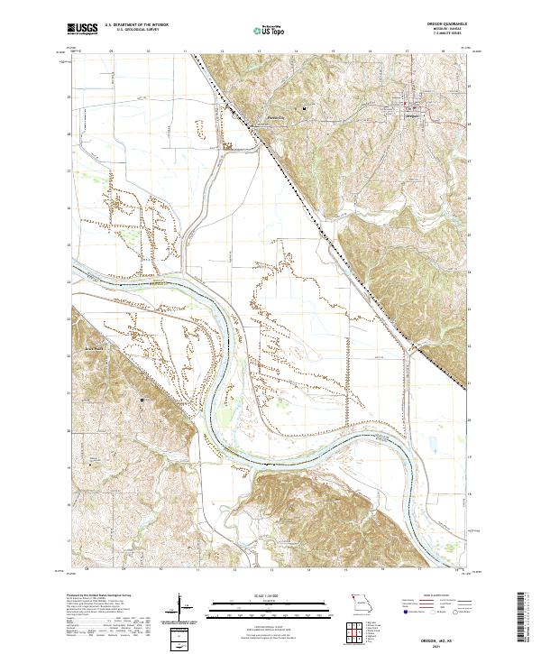
2021 Map of Oregon
USGS Topo · Published 2021About this map
Oregon serves as the seat of local government, anchored by the Holt County Courthouse and its grid of residential streets including W Nodaway St and W Pine St. The geography here is defined by the sharp transition from the loess bluffs down to the broad floodplain of the Missouri River. Between these landscapes lies Forest City, situated along the corridor where the hills meet the flat river bottoms.
Find a feature on this map
81 named features on this map. Tap any name to fly to it.
Don’t see what you’re looking for? This feature index may not catch every label — zoom into the map to look around manually.
Map Details
Editions of this 2021 Oregon Map
This is the sole edition of this map. No revisions or reprints were ever made.
Other maps of this area

1885 · Atchison
USGS Topo · 1:125,000

1888 · Atchison
USGS Topo · 1:125,000

1893 · Atchison
USGS Topo · 1:125,000

1920 · Craig
USGS Topo · 1:62,500

1926 · Oregon
USGS Topo · 1:62,500

1926 · Maitland
USGS Topo · 1:62,500

1950 · Kansas City
USGS Topo · 1:250,000

1954 · Kansas City
USGS Topo · 1:250,000

1955 · Nebraska City
USGS Topo · 1:250,000

1956 · Kansas City
USGS Topo · 1:250,000