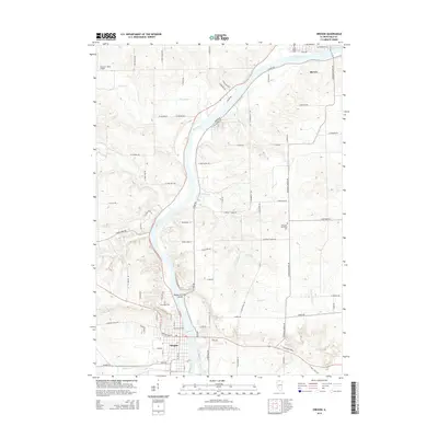
2015 Map of Oregon
USGS Topo · Published 2015About this map
The Rock River carves a deep path through Ogle County, Illinois, anchoring the communities of Oregon and Byron in this 2015 survey. The map reveals a landscape defined by significant river bends and numerous tributaries, including the Leaf River, Silver Cr, and Black Walnut Cr. A notable terrain feature, Margaret Fuller Island, sits just north of the Oregon town center, surrounded by the braided currents of the main channel.
Find a feature on this map
80 named features on this map. Tap any name to fly to it.
Don’t see what you’re looking for? This feature index may not catch every label — zoom into the map to look around manually.
Map Details
Editions of this 2015 Oregon Map
This is the sole edition of this map. No revisions or reprints were ever made.
Other maps of this area

1917 · Kings
USGS Topo · 1:62,500

1918 · Dixon
USGS Topo · 1:62,500

1918 · Kings
USGS Topo · 1:62,500

1922 · Oregon
USGS Topo · 1:62,500

1924 · Oregon
USGS Topo · 1:62,500

1950 · Dixon
USGS Topo · 1:62,500

1952 · Rochelle
USGS Topo · 1:62,500

1954 · Rockford
USGS Topo · 1:250,000

1955 · Rockford
USGS Topo · 1:250,000

1958 · Aurora
USGS Topo · 1:250,000