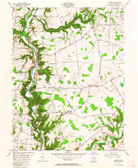
1955 Map of Oregonia
USGS Topo · Published 1964About this map
The Little Miami River and its meandering tributaries, including Caesar Creek and Todd Fork, define the landscape of this mid-1950s survey. The valley serves as a corridor for the Pennsylvania Railroad, which passes through the community of Oregonia. This area is notable for its concentration of prehistoric and recreational sites, anchored by Fort Ancient State Park, which contains preserved burial mounds and a stone circle above the river bluffs.
Find a feature on this map
71 named features on this map. Tap any name to fly to it.
Don’t see what you’re looking for? This feature index may not catch every label — zoom into the map to look around manually.
Map Details
Editions of this 1955 Oregonia Map
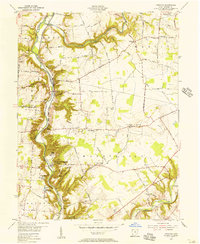
2 editions found
Other maps of this area

1907 · Blanchester
USGS Topo · 1:62,500

1913 · Waynesville
USGS Topo · 1:62,500

1914 · Morrow
USGS Topo · 1:62,500

1915 · Waynesville
USGS Topo · 1:62,500

1916 · Morrow
USGS Topo · 1:62,500

1917 · Xenia
USGS Topo · 1:62,500

1947 · Columbus
USGS Topo · 1:250,000

1953 · Cincinnati
USGS Topo · 1:250,000

1955 · New Burlington
USGS Topo · 1:24,000
1955 · Lebanon
USGS Topo · 1:24,000