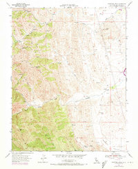
1955 Map of Orestimba Peak
USGS Topo · Published 1973About this map
Orestimba Peak and the surrounding Diablo Range foothills define this landscape of the Central Valley edge during the mid-20th century. The drainage patterns of Crow Creek and Orestimba Creek reveal a terrain utilized for cattle grazing, as evidenced by the high density of Windmills and scattered stock Reservoirs across the hills. A notable feature of the era's development is the California Aqueduct cutting along the eastern margin, marking the massive scale of state water infrastructure in Stanislaus County.
Find a feature on this map
19 named features on this map. Tap any name to fly to it.
Don’t see what you’re looking for? This feature index may not catch every label — zoom into the map to look around manually.
Map Details
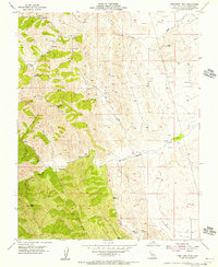
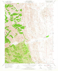
Editions of this 1955 Orestimba Peak Map
3 editions found
Other maps of this area

1916 · Crows Landing
USGS Topo · 1:31,680

1916 · Patterson
USGS Topo · 1:31,680

1917 · Newman
USGS Topo · 1:31,680

1919 · Orestimba
USGS Topo · 1:62,500

1919 · Orestimba Creek
USGS Topo · 1:31,680

1920 · Pacheco Pass
USGS Topo · 1:62,500

1921 · Gilroy Hot Springs
USGS Topo · 1:62,500

1922 · Howard Ranch
USGS Topo · 1:31,680

1938 · Mt. Boardman
USGS Topo · 1:62,500

1939 · Gilroy Hot Springs
USGS Topo · 1:62,500