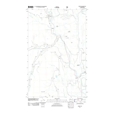
2011 Map of Orient
USGS Topo · Published 2011About this map
Kettle River defines the north-south axis of this Northeast Washington landscape, where the small communities of Orient, Dulwich, and Barstow line its banks. The settlement at Orient serves as a focal point with its Orient Post Office and street grid including Main St and Highland Ave. This area is marked by a legacy of resource extraction, evidenced by several named mining operations such as the Hidden Treasure Mine, Cooper Butte Mine, and Globe Mine situated on the slopes of Toulou Mountain. The rugged topography is further shaped by Little Marble Mountain and Thompson Ridge, while the KellyHill Cemetery provides a touchpoint for local genealogical research. In the south, the Barstow Bridge provides a vital crossing near the confluence of Hodgson Creek and the main river.
Find a feature on this map
42 named features on this map. Tap any name to fly to it.
Don’t see what you’re looking for? This feature index may not catch every label — zoom into the map to look around manually.
Map Details
Editions of this 2011 Orient Map
This is the sole edition of this map. No revisions or reprints were ever made.
Other maps of this area

1936 · Marcus
USGS Topo · 1:96,000

1942 · Marcus
USGS Topo · 1:125,000

1948 · Sherman Peak
USGS Topo · 1:62,500

1948 · Kettle Falls
USGS Topo · 1:62,500

1948 · Orient
USGS Topo · 1:62,500

1948 · Togo Mountain
USGS Topo · 1:62,500

1951 · Togo Mountain
USGS Topo · 1:62,500

1951 · Sherman Peak
USGS Topo · 1:62,500

1951 · Orient
USGS Topo · 1:62,500

1951 · Kettle Falls
USGS Topo · 1:62,500