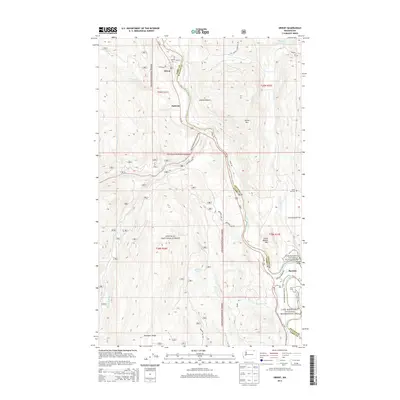
2014 Map of Orient
USGS Topo · Published 2014About this map
The Kettle River defines the geographic and political boundary of this landscape, winding south through the canyon to divide Ferry and Stevens counties. Along its banks, the small settlements of Orient, Dulwich, and Barstow follow the river valley and the path of Us-395. This corridor represents a vital mountain passage, where the flat valley floor meets the steep rise of the surrounding Colville National Forest.
Find a feature on this map
43 named features on this map. Tap any name to fly to it.
Don’t see what you’re looking for? This feature index may not catch every label — zoom into the map to look around manually.
Map Details
Editions of this 2014 Orient Map
This is the sole edition of this map. No revisions or reprints were ever made.
Other maps of this area

1936 · Marcus
USGS Topo · 1:96,000

1942 · Marcus
USGS Topo · 1:125,000

1948 · Sherman Peak
USGS Topo · 1:62,500

1948 · Kettle Falls
USGS Topo · 1:62,500

1948 · Orient
USGS Topo · 1:62,500

1948 · Togo Mountain
USGS Topo · 1:62,500

1951 · Togo Mountain
USGS Topo · 1:62,500

1951 · Sherman Peak
USGS Topo · 1:62,500

1951 · Orient
USGS Topo · 1:62,500

1951 · Kettle Falls
USGS Topo · 1:62,500