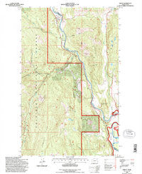
1992 Map of Orient
USGS Topo · Published 1996About this map
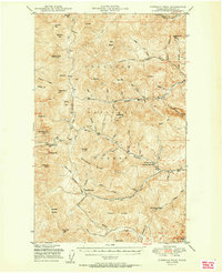
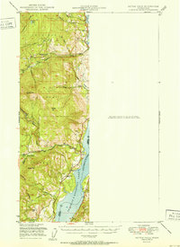
The Kettle River defines the geography of this northern Washington region, winding between the Stevens and Ferry County line. In the early 1990s, the riverside communities of Orient and Barstow remained established hubs along the Burlington Northern railroad corridor, while Dulwich sits further north along the same track. This period of the landscape shows a clear division between the managed timberlands of the Colville National Forest and the recreational lands of the Coulee Dam National Recreation Area near the southern edge. High-elevation mining activity is evidenced by the Hidden Treasure Mine, Copper Butte Mine, and Globe Mine located along the slopes of Toulou Mountain. Local history is anchored by the Kelly Hill Cemetery and the drainage systems of Toulou Creek and East Deer Creek.
Find a feature on this map
31 named features on this map. Tap any name to fly to it.
Don’t see what you’re looking for? This feature index may not catch every label — zoom into the map to look around manually.
Map Details
Editions of this 1992 Orient Map
This is the sole edition of this map. No revisions or reprints were ever made.
Other maps of this area

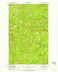
1936 · Marcus
USGS Topo · 1:96,000

1942 · Marcus
USGS Topo · 1:125,000
1948 · Sherman Peak
USGS Topo · 1:62,500

1948 · Kettle Falls
USGS Topo · 1:62,500

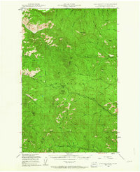
1948 · Orient
USGS Topo · 1:62,500
1948 · Togo Mountain
USGS Topo · 1:62,500
1951 · Togo Mountain
USGS Topo · 1:62,500
1951 · Sherman Peak
USGS Topo · 1:62,500

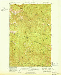
1951 · Orient
USGS Topo · 1:62,500
1951 · Kettle Falls
USGS Topo · 1:62,500